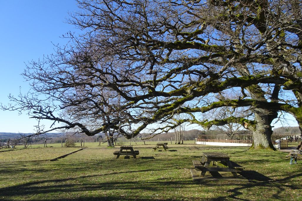
The Hermits Circuit
Although the area was once the favourite place of several hermits, offering refuge and isolation, it has not lost its interest. Today it is home to rare and protected plant species and some amazing birds of prey, hermits in their own way, so sensitive are they to the disturbance caused by human activity.
3 points of interest
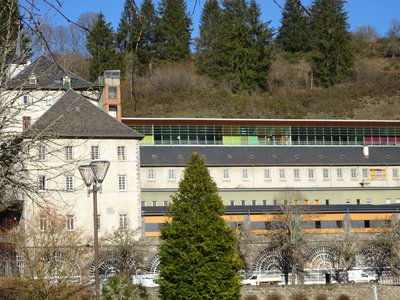
Site de la Celette - J.Primpier - PNRML  Heritage site
Site of La Cellette
The origins of La Cellette go back to the 12th century. A monk from the priory of Marsat, near Riom in Auvergne, was returning from Palestine along the deep valley of the Chavanon. Arriving on the small amphitheatre-shaped plain, watered by the confluence of the Clidane and the Chavanon, the monk found the place favourable for meditation. He settled there and built himself a shelter which was given the Latin name of cella, a small monk's cell. The hermitage was short-lived because it had to take in other monks as soon as it became known.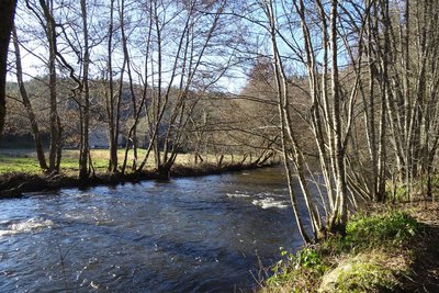
J.Primpier - PNRML  River
RiverThe Chavanon
A natural boundary between the Corrèze and the Puy de Dôme, the Chavanon is born from the confluence of two streams, the Ramade and the Méouzette.
It continues its course through gorges then flows into the Dordogne, upstream of the Bort-les-Orgues dam reservoir.
Classified Natura 2000 along its entire course, it is a river famous for its trout. It should be noted that one of the arches of the bridge was reserved for the supply channel of the old rock mill.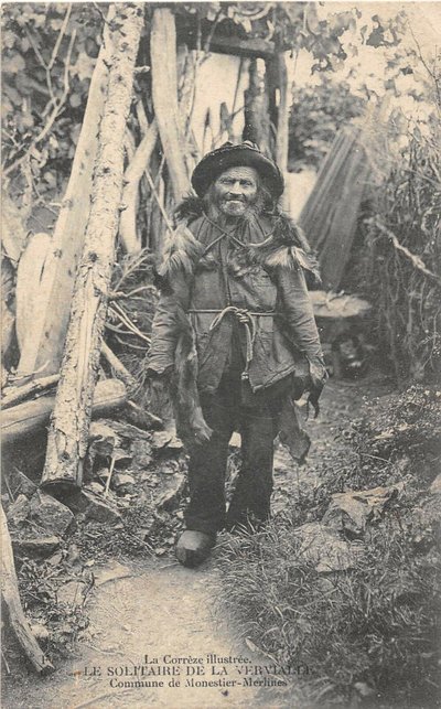
CC HCC  History
La Vervialle
This very old village in the commune of Monestier-Merlines, built overhanging the Chavanon gorges, also had its hermit, Jean des Chèvres. Away from the houses, in search of solitude, he had built himself a shelter which he shared with his animals, near some large oak trees dating from the time of Sully. The construction, rustic as possible and half-buried, had left traces that could still be visited in 1950, allowing us to observe the ingenious arrangements for the master of the house, the billy goat, the goats and the kids.
Description
At the exit from the Sully airfield, take the road on the left, then the one on the right. Leaving paths and roads to the left and right, go straight on slightly uphill.
- Pass to the right of a cross called "de la Martine" and opposite, take an earth path that goes downhill.
- At the crossroads, head down the grassy path towards the valley.
- In a bend, leave the main path and go straight ahead. At the next turn, follow the same trail. At the crossroads, climb the winding path through the heather, then descend. Pass to the right of the statue of the Virgin. Further down, at the crossroads, take the path on the left towards the buildingsat the bottom of the valley.
- Take the road to the right. It is extended by a trail alongside the Chavanon. Then pass under the SNCF viaduct and follow the trail.
- At the Raby mill (on the other bank), the path goes up. Take then the path that goes downhill. Pass to the right of a small house, and cross the Serre stream. The road goes up to join the D110.
- Take the road to the left. Without crossing the Raby bridge, follow the small road on the right that runs alongside the river. Go through the hamlet of Moulin-de-Lagarde, past the house and along the mill canal.
- In a bend in the road, take the earth path on the left.Do not go through the tunnel; go up the embankment to reach the old railway line, which you follow for 1 km.
- Cross the road to take an earth path. Take the next road on the right towards Monestier. Passing under the railway tunnel, the road climbs to join the D110. Turn to the right.
- Then take a path to the left after the last houses. The path leads to the edge of the wood. Take a path to the left in the woods, follow the tracks on the ground: beware, it’s a tricky part.
- Cross two stone bridges in succession. After the second one, go up the path on the left. Pass a path on the right and continue uphill. At the top of the hill, take a track opposite.
- Take the road to the right and reach La Vervialle opposite. Go through the hamlet to the left and return to the Sully area.
- Departure : Sully Area, Merlines
- Arrival : Sully Area, Merlines
- Towns crossed : Monestier-Merlines and Merlines
Forecast
Altimetric profile
Recommandations
Shortcut to point 5: go up the path to the right, cross the railway line and, at the fork, go up to the right to join the circuit track which you take on the right.
Information desks
Access and parking
From Merlines, follow the N89 towards Clermont-Ferrand. At the end of the village of Veyrières, head towards La Vervialle.
Parking :
More information
Report a problem or an error
If you have found an error on this page or if you have noticed any problems during your hike, please report them to us here: