The Postwoman's Path

Aix
The Postwoman's Path
Difficult
4h15
17,4km
+412m
-414m
Loop
Yellow markers
Embed this item to access it offline
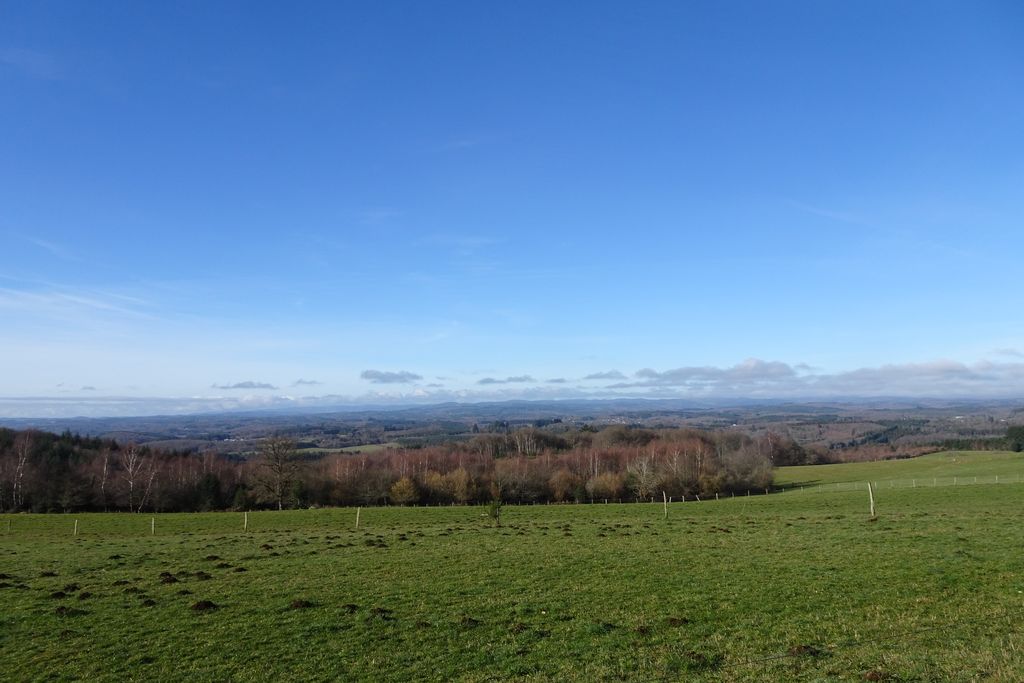
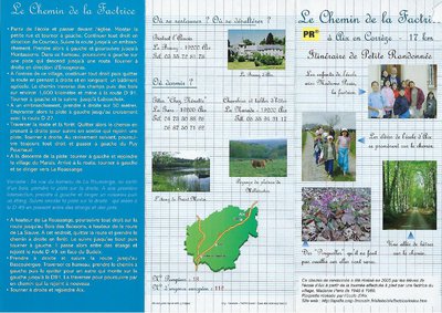
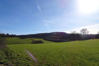
While admiring the panoramic views of the Millevaches plateau and the Auvergne mountains, "le Chemin de la Factrice" allows you to imagine the time when Madame Paris brought the post. This circuit was made by the children of the school of Aix.
3 points of interest

Ecole d'Aix  History
Madame Paris and the school in Aix
At the age of 94, Madame Paris brought this era back to life for the children at the Aix school, allowing them to retrace "the postwoman's path" in her memory.
J.Primpier - PNRML  History
In the footsteps of Madame Paris
From 1945 to 1960, Madame Paris, a postwoman in Aix, criss-crossed roads and paths on foot, travelling 26 km daily to deliver letters, newspapers and parcels to seventeen homes in the Aix commune. The post arrived in the morning by train from Ussel, at Aix-la Marsalouse station. The head of the post office in Aix then transported it by bicycle to the town post office where it was sorted by three postmen before being distributed.
J.Primpier - PNRML  Panorama
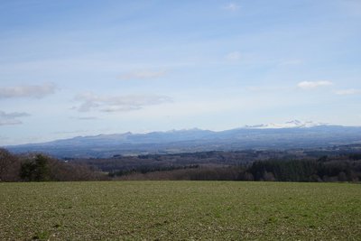
Panorama over the Auvergne mountains
he path offers a view of the Auvergne volcanoes, classified as a UNESCO World Heritage Site. Another Auvergne massif with Le Sancy, the Cantal Mountains, presents itself to us during this hike. This massif is, in fact, the remnant of a stratovolcano born 13 million years ago, the largest in Europe, eroded by collapse and glacial erosion.
Description
- From the school, go on in front of the town hall. Go up the small street and turn left. Find a fork in the road.
- Continue left towards Montasserre. In the hamlet, take a track on the left which leads to a small road; follow it to the right to Encognéras. Take on the right a path that goes on alongside an agricultural building; it crosses fields and woods and reaches the D91. Follow it on the left to Laboucheix.
- At the junction, turn right for 50 m, then follow a track to the left. Cut away from the road and continue opposite by a path through a forest. Leave it for a trail on the right that joins a new track; follow it to the right. After a descent, follow a transversal path.
- Turn left, then right to return the village of Le Marais. Follow the road to the left, go past La Roussange and continue to the Siauve crossroads.
- Climb to the right in the Bois des Buissons until you arrive at a track; take it on the left to join the D 49. Go ahead on the right, then turn right onto a small road. Leave Lavergne on the right and go to Bascoulergue. At Bascoulergue, do not go through the private farmyard but go around the village from below. Leave the hamlet by a path on the left. A little further on, turn left up to the D91. Opposite, take a path that leads back to the D91. Follow the road to the right.
- At the crossroads, go back to Aix by the left.
- Departure : School, Aix
- Arrival : School, Aix
- Towns crossed : Aix, Saint-Pardoux-le-Neuf, Courteix, and Couffy-sur-Sarsonne
Forecast
Altimetric profile
Information desks
Access and parking
15 km from Ussel, follow the D 49E 2.
Parking :
School car park, Aix
Report a problem or an error
If you have found an error on this page or if you have noticed any problems during your hike, please report them to us here:
