The Maulde Valley
Saint-Martin-Château
The Maulde Valley
Easy
1h
3,5km
+115m
-116m
Loop
Yellow markers
Embed this item to access it offline
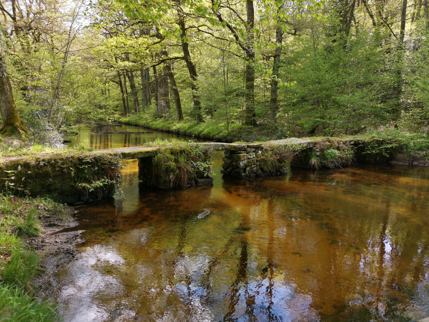
A few steps away from the Jarrauds waterfall is the Maulde valley. On this fast hike, you will discover magnificently carved granite plank bridges as well as sunken paths and ancient fisheries.
6 points of interest
Patrimoine Saint Martin Château - bsavarypro  Heritage site
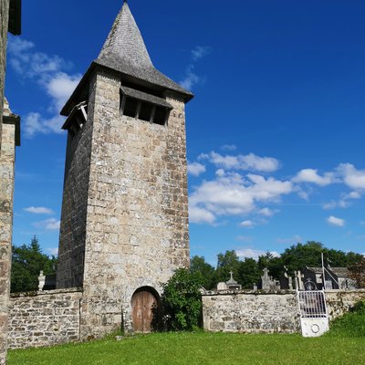
Detour to Saint-Martin-Château
Situated between two rocky spurs, the Jarrauds waterfall is close to the village of Saint-Martin-Château which is full of heritage treasures. The detour by the trail leading to the village (distance: Five hundred metres from the car park) allows you to appreciate a 12th-century church, stone statues, a carved cross, a sarcophagus, dry stone walls and traditional granite houses.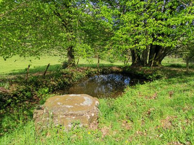
La Fontaine du vilage - bsavarypro  Small patrimony
The village fountain
A niche of granite blocks with a grindstone as a cover to protect the purity of the water and two protruding stones for the seals. This was the only water point in the village of Saint Martin Château, a meeting place for the inhabitants of the village who had to fetch water several times a day.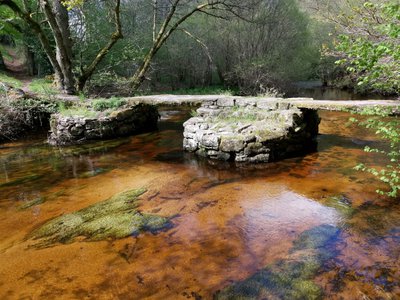
Le Pont de Verrières - bsavarypro  Small patrimony
The plank “bridges”
These are rustic bridges with large granite slabs as their deck. The planks of Verrière are remarkable for their size, those of Pont for their regularity. Both offer great views of the river. These are pedestrian crossings, with wagons and animals using the ford crossing the bridge.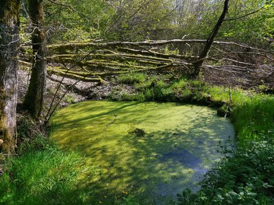
Pêcherie - bsavarypro  Small patrimony
Fisheries
Dug in the upper part of the meadows, they retain the water that used to be used for irrigation ditches: “the levades”. In this way, the spring growth of the grass was encouraged. Near the village, the women used to come here to rinse the ashes they used for washing clothes. This is the habitat of numerous amphibians: the frog, the salamander and the marbled newt recognisable by the male’s dorsal crest.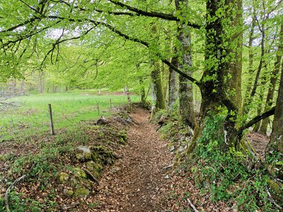
Chemin creux - bsavarypro  Small patrimony
Rural paths
Often lined with low walls, these famous sunken paths are inseparable from the Limousin landscape, and are to be found everywhere, especially when going down to the Verrières bridge. On the other hand, they may be raised to make the passage of very wet areas easier: An excellent example of this arrangement is clearly visible between the village of Pont and the bridges of the same name.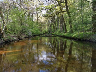
La Maulde - bsavarypro  River
RiverThe Maulde
It has its source on the Plateau de Millevaches and feeds Lake Vassivière. Its particularly clear water is conducive to the development of beds of the aquatic plant water starwort. With a bit of care, you should be able to see the white-throated dipper, which flies very quickly at the water’s edge. This bird, the size of a blackbird, feeds on insects that it seeks out in the water beneath the rocks.
Description
- At the entrance of the car park for the Jarrauds waterfall, take the path that goes uphill.
- When you get to the road, turn left to go up the centre.
- Continue alongside the church on the right, take the downhill path to the right of the town hall and then follow the road on the left.
- Continue straight ahead on the path going down and then rejoin the road to the right. Then turn left. At the intersection go straight ahead and continue alongside the Auberge de la Cascade on the road for 400 m.
- Turn left onto the downhill path, cross the Maulde on the plank bridge, then continue straight ahead.
- At the intersection, turn left and continue on the sunken path for 800 m.
- Then turn left, cross the Maulde a second time on the plank bridge, then turn right onto the uphill path.
- When you get to the road, follow it to the right for 150 m before arriving at the car park.
- Departure : Cascade des Jarrauds car park (D51 A2), Saint Martin Château
- Arrival : Cascade des Jarrauds car park (D51 A2), Saint Martin Château
- Towns crossed : Saint-Martin-Château
Forecast
Altimetric profile
Recommandations
Equip yourself with shoes and clothing suitable for hiking. Choose a hiking circuit that matches your abilities. Plan for provisions and water supplies according to the route you will take. Respect nature, collect up your rubbish and do not pick too much. Respect other users
Information desks
12 Place Defumade, 23150 Ahun
Place du Champ de Foire, 23400 Bourganeuf
Access and parking
16 km from Bourganeuf via the D51 road
Report a problem or an error
If you have found an error on this page or if you have noticed any problems during your hike, please report them to us here:
