Les Hérons
The name of this itinerary refers to the magnificent bird that inhabits our ponds and lakes, although not much appreciated by the owners of these bodies of water due to the amount of fish it consumes. The Plateau de Millevaches is known as France's water tower because of the numerous rivers that have their sources there, but it also has a wealth of ponds and lakes. All artificial, they were created by humans, who most often dammed a stream at the end of a wetland.
4 points of interest
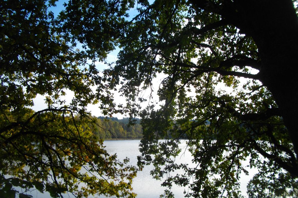
Etang de la Veyssie - G.Salat - CC HCC  Pond
PondEtang de la Veyssie
A funny name for a lake that probably takes its name from the Occitan word "Vaissa", meaning hazel wood. This lake is typical of bodies of water in Limousin where humans have dammed a stream at the outlet of a wetland to create a recreational site, mainly for fishing. This is the case of the Veyssie lake, which is owned by the Pays d'Eygurande general hospital works committee.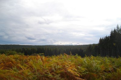
Les Agriers - G.Salat - CC HCC  Forestry
Les Agriers
A recent logging operation has opened up a view of the Agriers forest massif. This massif which culminates at 915 m at the Puy du Vareyron is the property of a forestry syndicate, managed by the Office National des Forêts. It covers 600 hectares, most of which is used for forestry production. This afforestation was carried out from the 1970s onwards, on heather moors with juniper bushes, which were used for sheep grazing.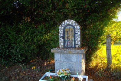
Coulourières - G.Salat - CC HCC  Heritage site
Village of Coulourières
The villages of Haute-Corrèze are all involved in agriculture. Walking through these hamlets always produces interesting discoveries during a hike: barns, mansions, crosses and monuments, traditional local architecture... Don't miss the old bread oven on your left and the well in Coulourières. As you leave the village, on your right, there is an oratory dedicated to the Virgin.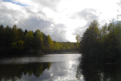
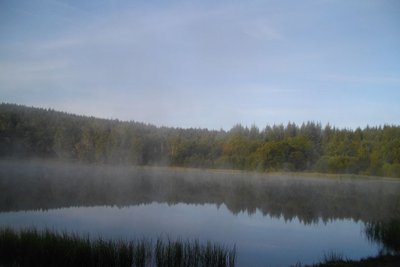
Etang sans nom - G.Salat - CC HCC PondLake
This lake is certainly the wildest of the four expanses of water on this walk. It is a splendid observation point for waterfowl and amphibians. The shallow depth of this lake is undergoing eutrophication: in other words, the plants are growing and will fill the available space in the water. This body of water will become successively swamp, then wetland meadow.
Description
Take the road to the east towards Eygurande for 200 m.
- Turn left onto the path; take two left turns at the next two crossroads. The path goes over the road and eventually joins it.
- Follow it on the right for 50 m and then turn right onto the path. Continue straight on through the woodland.
- When you reach a meadow, there is a track that you take on the right. Go straight on at the next crossroads to arrive on a road that you take to the right. Go through Coulourières.
- 300 m afterthe village, take the track on the right for 250 m. When you arrive in the woods, take the path on the left; go on alongside the lake, and go over the dyke. Afterthis,follow the path to the left to get back to the road. Turn right for 400 m.
- At the crossroads with the road, turn right onto the track which becomes a path and then a trackafter the lake. At the crossing of the paths, to the right is a path through woodland which joins the path you took at the beginning: go left and then right to join the road that goesback to the Veyssie lake.
- Departure : Parking at the Veyssie lake
- Arrival : Parking at the Veyssie lake
- Towns crossed : Eygurande
Forecast
Altimetric profile
Recommandations
Follow the markings carefully at the Eygadie lake, it is private property.
Information desks
Access and parking
The departure point is 6 km from Eygurande: follow the D21, then the D79 towards Le Massif des Agriers. Be careful, at the entrance of the massif, keep right on the D79 to reach the lake.
Parking :
More information
Report a problem or an error
If you have found an error on this page or if you have noticed any problems during your hike, please report them to us here: