Chadebec mill
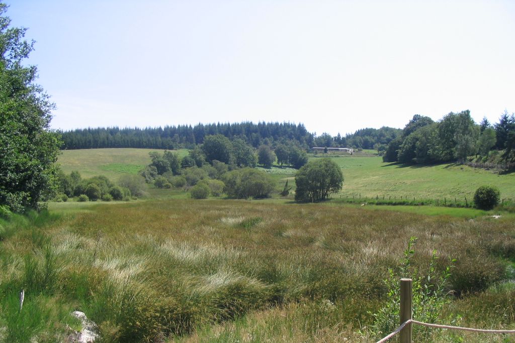
Bonnefond
Chadebec mill
Medium
3h
10,3km
+299m
-298m
Loop
Yellow markers
Embed this item to access it offline
This circuit is marked by the many elements of Christianisation in the region, including the wayside crosses and miraculous springs that are the subject of processions. The Menhir du Pilard is undoubtedly the most iconic, with the engraving of a cross which is still visible today.
6 points of interest
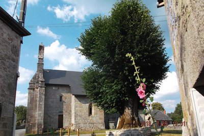
Le Tilleul de Sully - Office de tourisme V2M  Flora
FloraSully’s Lime Tree
This 400-year-old lime tree stands majestically in front of the church and is also surrounded by a small stone wall where it is nice to sit and enjoy the cool shade. With a circumference of 6.40 m to 1.50 m and a height of about ten metres, its trunk is entirely hollow and can be crossed from side to side. The trunk was filled in with stones and cement to a height of one meter.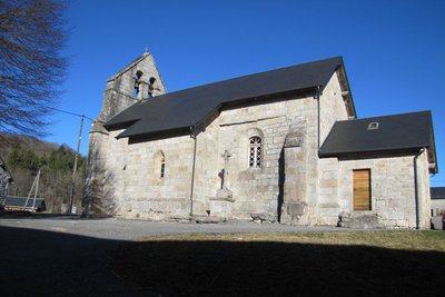
Eglise de Bonnefond - Office de tourisme V2M  Heritage site
The Church at Bonnefond
The church, which depended on the abbey of La Chaise-Dieu in Auvergne, fell into ruins in the 18th century, when a courageous priest raised it up, respecting the previous style of the 15th century. The regularity and beauty of its structure are interesting because the façade and the bell tower were rebuilt later. The furniture includes a 15th-century Pietà and a Flemish red copper baptismal font. The cross from the old cemetery, which stands on the square, is from the 14th century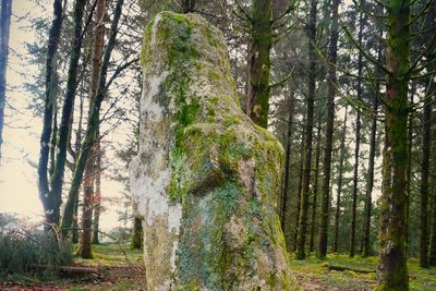
N.Jumelle - Office de Tourisme Terres de Corrèze  History
The Menhir of Pilard
The Pilard menhir is a 6000-year-old standing stone. At that time, it indicated a crossroads between two paths. It was also a place of worship that evolved through the religions: pagan then Christian. A cross was sculpted on the stone probably around the 5th century AD.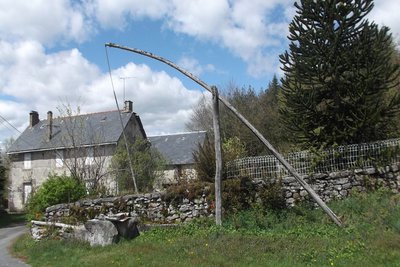
Le Puit à balancier - Office de tourisme V2M  Site
SiteThe Pendulum Well
The water-raising pendulum is an ingenious lifting device based on the principle of a lever supported in its middle on a pivot and carrying a container at one end and a counterweight at the other. Simply vary the weight on one of the arms to give it a rocking motion. It was probably built by Cistercian monks in the 12th century.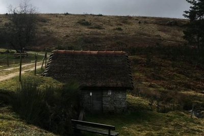
L.Golfier - Office de tourisme Rerres de Corrèze  Site
SiteLe Moulin de Chadebec
This mill is set in a dyke - that of the pond - on XIIth century foundations, built and exploited by the Cistercian monks of the Abbey of Aubazine.
Until the 1950s, the farmers in the village used this watermill to grind the grain coarsely and feed it to the farm animals; At the same time, they went to the miller to obtain rye flour for making bread and buckwheat flour for their “tourtous”, buckwheat pancakes. It was neglected and then abandoned following agricultural modernisation until it was restored in 2010.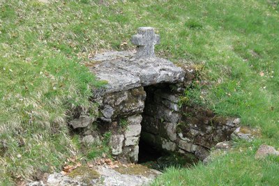
Fontaine Sain-Médard - Office de tourisme V2M  Small patrimony
The Saint-Médard Spring
Among the many miraculous springs that were the object of procession and pilgrimage, that of Saint-Médard is known to cure stomach aches and migraines.
Description
- Go down the Rue du Tilleul, cross the D18 and head towards Laubary. After the cemetery, take the first road on the left. Cross the D18 again. 200 m after the crossroads take an uphill path to the right.
- On the flat, at the intersection, go straight ahead; the path goes back down to the road. (Outside the circuit: Take the path on the left; the Menhir du Pilard is in the undergrowth 50 m on the right.) Keep left until you reach Anglard.
- In the village, turn right on a tarmac path as far as a barn. (Shorter route: Go up to the left by the road, then take the path to get back to the main road). Follow the downhill path to the left. It crosses the Corrèze and rises at a crossroads of tracks. Turn left to reach a crossroads.
- (Outside the circuit: Crossroads on the outskirts of La Nocaudie). The road to the left crosses the Corrèze; go up 300 m to take the path on the right.
- Continue straight ahead: The path passes several woods and meadows and then goes uphill alongside a sheep pen.
- Go back on the road and follow it straight ahead. Go through Chadebec (the pendulum well is on the left). At the edge of the hamlet, turn left on the path that goes down to the Chedebec mill. Continue to return to the road, then take it on the left to get back to Bonnefond.
- Departure : Place de l'Eglise, Bonnefond
- Arrival : Place de l'Eglise, Bonnefond
- Towns crossed : Bonnefond
Forecast
Altimetric profile
Recommandations
Nearest railway station: Bugeat (11 km)
Information desks
Le Bourg, 19170 Bonnefond
1 place de la République, 19 260 Treignac
Access and parking
11 km from Bugeat, take the D18. 20 km from Egletons, take the D18. 22 km from Treignac, take the D940, then the D16.
Parking :
Place de l'Eglise, Bonnefond
Report a problem or an error
If you have found an error on this page or if you have noticed any problems during your hike, please report them to us here:
