Between Vienna and Diège
Saint-Setiers Blue markers
Between Vienna and Diège
Medium
3h
10,6km
+300m
-299m
Loop
Embed this item to access it offline
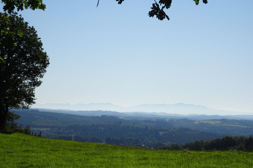
This walk, starting from the village of Saint-Setiers, takes you to the watershed between the Dordogne and Loire basins: you will discover one of the sources of the Diège and one of the sources of the Vienne. On the outskirts of the town, don't miss the Parc des Arbres Redressés with its sculptures. On the plateau, the chapel and then the Saint Sagittarius spring recall the history of this evangelising saint who lived in the region.
7 points of interest
CC HCC  History
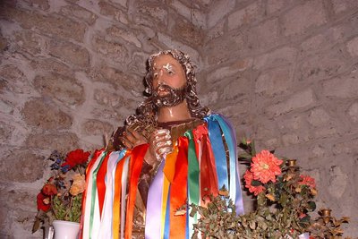
The bust of Saint Sagittarius
In the church, you can see the bust of Saint Sagittarius, the saint-evangelist of the plateau and patron saint of Saint Setiers. The bust is revered throughout the year and is permanently decorated with ribbons that symbolise the clothes of sick children.
The Saint Sagittarius pilgrimage still takes place on the Sunday closest to 13 May. The saint's bust is taken out of the church and carried in procession to the good fountain where the water is taken. This is followed by a mass in the chapel.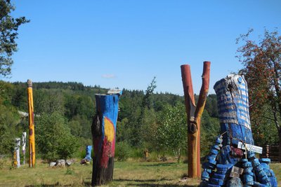
CC HCC  Art
ArtSculpted trees
After a logging operation, a landscape resembling a natural disaster was left. How could this man-made void be improved? Let nature take over, accept the mess?
Thanks to the collective work of volunteers, these abandoned logs have been given new life in the form of sculptures. ‘Art in the raw’, without any intellectual approach but a real contemporary garden. Visitor, you are welcome. If you have more time and want to participate, become a part of this project.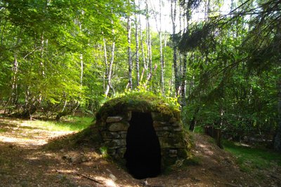
CC HCC  Small patrimony
Mutineers' hut
During the First World War, the military camp at La Courtine took in Russian soldiers in 1917. They were abandoned there during the revolution that was shaking the future USSR. Some wanted to remain loyal to the tsar, others supported revolutionary ideas.
A small, well-preserved remnant of a shepherds' hut, perhaps occupied by some Russian soldiers who came to work in the forests surrounding Saint-Setiers, is known as the mutineers' hut.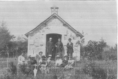
CC HCC  Small patrimony
Chapel and spring of Saint Sagittarius
The chapel was built in 1891 in honour of St. Sagittarius by the parish priest with donations from the faithful. It would have been built on the site of the Saint's hut, which became his burial place.
The relics were exhumed and placed in a reliquary. This now serves as a base for the bust of the Saint, which can be seen in the church in Saint Setiers.
The fountain is also in his honour.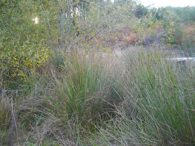
CC HCC  River
RiverThe source of the Diège
A small spring hidden by clumps of mulberry is designated as one of the sources of the Diège. The network of small streams will give rise a few kilometres downstream to the river Diège, which flows into the Dordogne. It is the ideal playground for fishermen, kayakers and walkers.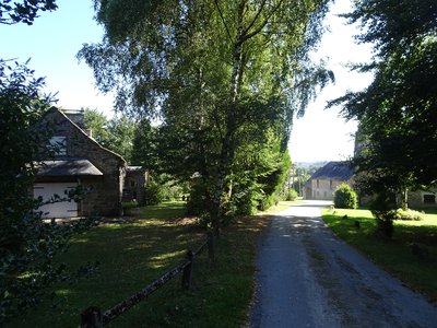
J.Primpier - PNRML  Small patrimony
Bread oven at Morneix
The villages of Haute-Corrèze have all been involved in agriculture. Walking through these hamlets always produces interesting discoveries during a hike: barns, large country houses, crosses and monuments, traditional local architecture, etc. As you go through Morneix, don't miss the bread oven.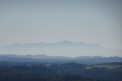
J.Primpier - PNRML  Panorama
Le Sancy
This hike will offer you several viewpoints overlooking the highest volcano in mainland France, the Puy de Sancy. At 1885 metres above sea level, this summit is the highest point of the Massif Central. The two streams, the Dore and the Dogne, originate there, and their confluence forms the Dordogne.
Description
Park in the car park behind the church. Go down towards the village.
- Take the road to the right. At the church crossroads, go up towards Peyrelevade. Leave the cemetery on the right and the road to Sounaleix on the left (return trip to the Parc des Arbres Redressés). 50 m further on, take the path on the right that passes the mutineers' hut.
- Cross the road and continue straight ahead. Ignore a path on the left; take the next one that goes past the chapel. Continue straight on, crossing a track to reach the fountain.
- Turn right. At the end of the track, turn left. Go downhill for 400 m and take the path on the right. Turn left at the next crossroads: the path turns and joins a track. Turn left onto it.
- Before you reach the Departmental road, take the path on the right. Ignore a path on the left. A short round trip to the source of the Diège at the second crossroads. Continue straight ahead. The path goes up to a track. Follow it to the left. Go straight on at the next crossroads to descend to Morneix.
- Go through the village, cross the stream and then follow the path up to the right; on a flat area, go left. Join a path that you take on the right to go around a valley, ignoring two paths on your right. On the descent, turn right; the path leads up to an electricity pylon. Continue to the right.
- At the end of the path, go up to your right. Go straight on at the next crossroads. At the Y-junction (view of the chapel), turn left. Go downhill, ignoring a path on the right, to join the road.
- Turn left onto it. A short walk to the orientation table and back. Continue straight downhill. At the sorting containers, turn right to get back to the starting point.
- Departure : City hall, Saint-Setiers
- Arrival : City hall, Saint-Setiers
- Towns crossed : Saint-Setiers
Forecast
Altimetric profile
Information desks
Access and parking
22 km from Meymac, follow the D 36.
Parking :
Town Hall Square, Saint-Setiers
Report a problem or an error
If you have found an error on this page or if you have noticed any problems during your hike, please report them to us here:
