La Bujada
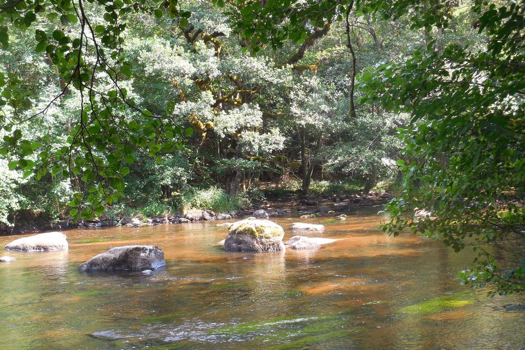
Mestes
La Bujada
Medium
1h30
6,2km
+168m
-162m
Loop
Yellow markers
Embed this item to access it offline
This short hike starts from the church of Mestes and goes down to the Diège; it is a beautiful path through the woodland undergrowth on the river's edge. The more athletic can take a break at the activity centre before heading back up to the plateau.
4 points of interest
V.Mendras - CC HCC  Heritage site
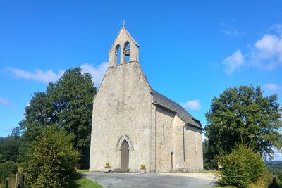
Church
The church of Saint-Pierre, partly Romanesque, was built in the 13th century and enlarged in the 17th century. Inside, there is a depiction of the Lamentation of Christ, a 17th-century painting on wood, listed as a historical monument since 1970.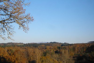
G.Salat - CC HCC  Panorama
Puy de Sancy
Before starting the hike, climb up to the church to enjoy the view of the highest volcano in mainland France, Puy de Sancy. At 1885 metres above sea level, this summit is the highest point of the Massif Central. The two streams, the Dore and the Dogne, originate there, and their confluence forms the Dordogne.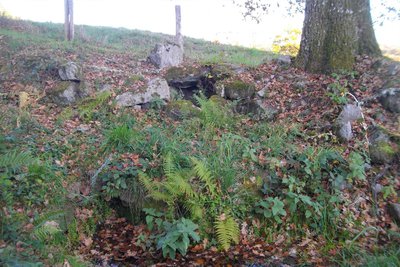
CC HCC  Small patrimony
The Le Mas washhouse
Used to wash the laundry for the village. This activity was physically very difficult. The washhouse served an important social function as it was a place where women could meet and talk.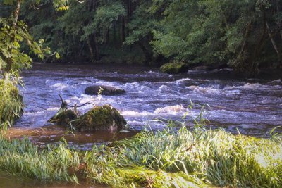
V.Mendras - CC HCC  River
RiverThe Diège
This river has its source a few kilometres away on the eastern edge of the Millevaches plateau in the commune of Saint-Setiers and flows into the Dordogne. It is the ideal playground for fishermen, kayakers and walkers.
Description
- Leave the church behind you and go right towards Le Mas.
- In the village, at the cross, take a path to the right (the communal washhouse is shortly after on your right at the edge of the path). When you reach the road, turn right and then left onto the track leading up to the shed. This track becomes a path.
- At the road, turn right to reach La Chassagnite. Take the path on the right after the first house and then the path on the left; cross the courtyard of the house and then take the road to the right. It descends and becomes a path that runs alongside the meadows. At the entrance to the wood, take the path on the right; join the banks of the Diège before the stream.
- Turn left onto the path that runs alongside the river for several hundred metres until you reach the car park on the banks of the Diège.
- Turn left up the track that runs alongside the activity centre and treetop trail. At the car park, turn right to go up towards L a Chassagnite. Go through the village and follow the same route you took on the way out: follow the road for 400 m, then take the trail on the left. At Le Mas, turn right and then left in the village to return to the start.
- Departure : Church, Mestes
- Arrival : Church, Mestes
- Towns crossed : Mestes
Forecast
Altimetric profile
Information desks
Access and parking
From Ussel, follow the D982 towards Neuvic for 5 km. Towards the end of the climb, turn left towards the activity centre. Turn right at the crossroads. After 600 m, turn left at the church.
Parking :
Church, Mestes
Report a problem or an error
If you have found an error on this page or if you have noticed any problems during your hike, please report them to us here:
