Along the water's edge (Saint-Hilaire)
Saint-Hilaire-Luc
Along the water's edge (Saint-Hilaire)
Medium
2h
7,6km
+259m
-259m
Loop
Yellow markers
Embed this item to access it offline
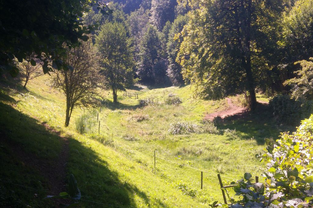
Charming and authentic, Saint-Hilaire-Luc overlooks the Vianon valley. In the village, the small 12th-century church dominates the village. It is framed by the lime tree known as "Sully", classified as a Remarkable Tree of France and an oak tree dating from 1879. The whole village is carefully planted with flowers and offers visitors a restful break.
4 points of interest
V.Mendras - CC HCC  Heritage site
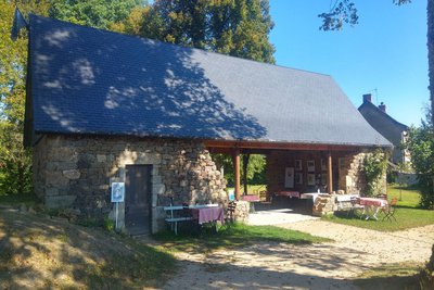
Village of St-Hilaire-Luc
The church of Saint-Hilaire-Luc, which dates from the 12th century, regularly hosts exhibitions and conferences. Open to the public, the old oven allows you to learn more about bread-making in the last century. The Carré du Fournil, entirely restored, is used throughout the year for festive and cultural events.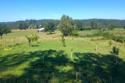
V.Mendras - CC HCC  Information panel
The Les Ganes chestnut grove
Created on 26 October 2015 by the association of the same name, this chestnut grove aims to maintain this species, the region's emblem, and create a small chestnut conservatory. You will find four essences with enchanting names there: Belle Epine, Dorée de Lyon, Nouzillard and Marigoule.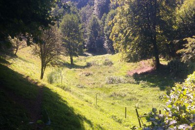
V.Mendras - CC HCC  Agricultural diversity
The enclosed meadows
Balanced between too little and too much, and therefore between irrigation and drainage, the control of water in the pastures has required many developments. But there is nothing better than a visit to the enclosed meadows to find out more.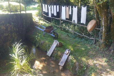
V.Mendras - CC HCC  History
The old Pré Clos communal laundry
Used to wash the laundry for the village. This activity was physically very difficult. The washhouse served an important social function as it was a place where women could meet and talk.
Description
- Park in the car park behind the auberge. Return towards the village. Turn right, pass the war memorial. Continue towards the town hall and the village of Les Ganes. As you leave the village, turn right towards St-Pantaleon. Follow the road for 300 m, and turn right on the trail that leads to the ‘pré clos’, the enclosed meadows.
- At the T-junction, turn left. Ignore a path on the left. At the next crossroads, follow the path to the left.
- At the next crossroads, continue straight ahead for 300 m.
- Take the road to the right; ignore a track on your left. The road goes down to the Vianon. In a bend, follow a path on your left. After the stream, turn right; the path becomes a trail that zig-zags up through the undergrowth.
- Take the track on the left at the crossroads with a track at the end of the wood. Ignore a track on your right (which goes up to Theil). At the next crossroads, follow the track to the right, which joins a road. Take it to the left to find point 3.
- At the next crossroads, turn to the right. Go on alongside the field until you reach a section of the path you took on the way to the enclosed pastures. Turn left on the track that goes up and past an old communal laundry. At the intersection, go up to the right to find the starting point.
- Departure : Parking at the Auberge de la Marguerite, Saint-Hilaire
- Arrival : Parking at the Auberge de la Marguerite, Saint-Hilaire
- Towns crossed : Saint-Hilaire-Luc
Forecast
Altimetric profile
Recommandations
Follow the signs carefully, the circuit describes a "double eight"
Information desks
Access and parking
From Neuvic, follow the D 991 towards Egletons, then go left on the D 89, and take the D 55E towards St-Hilaire.
Parking :
Parking at the Auberge de la Marguerite, Saint-Hilaire
Report a problem or an error
If you have found an error on this page or if you have noticed any problems during your hike, please report them to us here:
