The Wells Circuit
Dontreix Orange markers
The Wells Circuit
Medium
3h
10,4km
+255m
-254m
Loop
Embed this item to access it offline
Near fountains, springs and sacred trees, the crosses are signposts for travellers and are also an opportunity to stop and pray. Numerous wells mark the course of a territory rich in springs.
4 points of interest
Commune de Dontreix  Heritage site
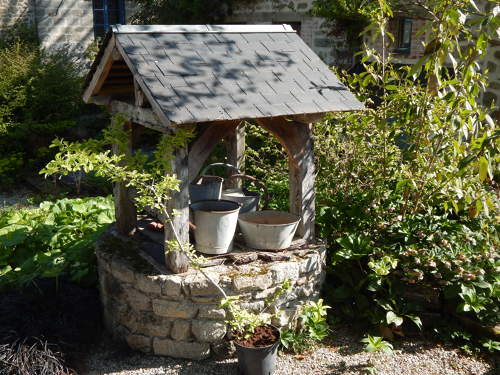
Gendelauds Well
In the past, the wells were meeting points for the inhabitants of the village who came to fetch water or water their animals. This well is dated 1888 and now contains a statue of the Virgin.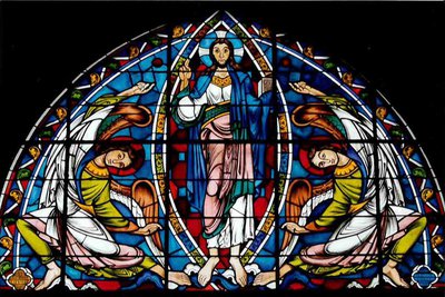
J.J.Auzelle  Heritage site
Church of St Julien
The 12th-century church was completed by a bell-tower-porch in the 15th century. The stained glass window of the Ascension is a copy of part of the one in Poitiers Cathedral. The church also has six Art Deco stained glass windows.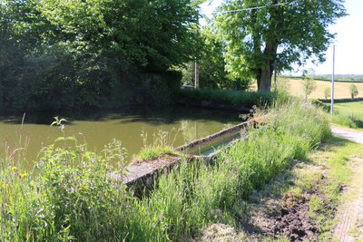
Commune de Dontreix  Heritage site
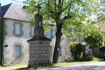
Gibreix washhouse and drinking trough
Under a lime tree, you can admire the Pouchol de Gibreix Cross carved in 1865. This cross is made of Volvic stone. Opposite, discover a washhouse which was also used as a watering place for animals.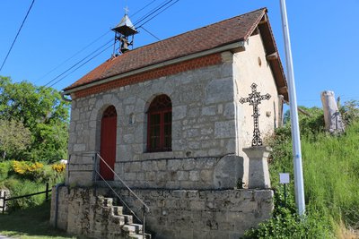
Commune de Dontreix  Heritage site
Chapel of La Chaumette
Next to the chapel, remarkable for its bell tower, is a wrought iron cross bearing the symbol of the four evangelists (Tetramorph): the bull of St Luke, the eagle of St John, the lion of St Mark and the angel of St Matthew.
Description
- Go to the Gendelauds Well, take the road to Fontille, turn left at the first path and then follow the path to the right.
- Turn right towards Les Chabrat; at Chabrat, head towards Courdemanges.
- At the crossroads, turn left onto the Chemin de Gibreix and continue for 1 km to Gibreix.
- Cross the road and follow it to the crossroads signposted La Chaumette; (Return trip to La Chaumette to see the chapel); Turn left towards the La Carte Jarrige.
- Take the road to Le Mas and follow the departmental road.
- Continue along the D4 road towards Dontreix for 400m until you reach a grassy path on the left.
- Towns crossed : Dontreix and Charron
Forecast
Altimetric profile
Information desks
Rue de l'Etang, 23700 Auzances
Access and parking
Leave Auzances and take the D988 towards Clermont-Ferrand for 7 km and enter Dontreix.
Parking :
Place, Dontreix
Report a problem or an error
If you have found an error on this page or if you have noticed any problems during your hike, please report them to us here:
