The Puy de Sabat

Mestes Brown mountain bike markers
The Puy de Sabat
Difficult
3h
31,6km
+754m
-755m
Loop
Embed this item to access it offline
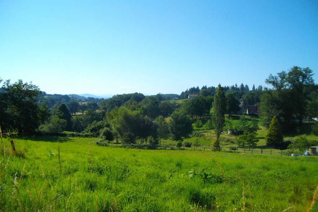
The beginning of the course is more technical and hilly. It offers the most beautiful landscapes: the Puy du Sancy on sunny days, a passage by the Diège and a descent overlooking the river. The rest of the route alternates between passages in the woods, beautiful forest tracks, and roads with very little traffic. This circuit includes two shorter routes, Picturesque Valleys (13 km) and Fine Fountains (16 km). Favourite section: the passage through the wetlands at about the halfway point, on the wooden pontoons.
3 points of interest

V.Mendras - CC HCC  Pond
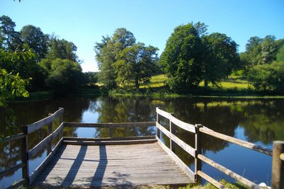
PondPond of Mont Roux
Particularly appreciated by fishermen, the Mont Roux pond is the ideal place for a picnic break.
V.Mendras - CC HCC  River
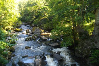
RiverLa Diège
A right bank tributary of the Dordogne, the Diège borders the eastern part of the commune of Mestes. To the southeast of the commune is the Chaumettes dam, built between 1925 and 1927, and which is still in use today, producing hydroelectricity.
V.Mendras - CC HCC  Heritage site
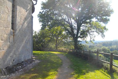
Church of Saint Pierre
The church of Saint-Pierre, partly Romanesque, was built in the 13th century and enlarged in the 17th century. Inside, there is a representation of the Lamentation of Christ, a painting on wood dating from the 17th century and classified as a historical monument since 1970.
Description
Marking: brown arrows, circuit number 20
- Departure : Church, Mestes
- Arrival : Church, Mestes
- Towns crossed : Mestes, Saint-Exupéry-les-Roches, Valiergues, Chirac-Bellevue, and Saint-Angel
Forecast
Altimetric profile
Recommandations
Please note, pedestrians have priority
Information desks
Access and parking
From Ussel town centre, head towards Neuvic. 6 km further on, at the La Serre roundabout, take the second exit. 350 m further on, turn left towards Mestes. Go straight on for 1 km until you reach the small church at Mestes, slightly on the right, at the top of a small rise.
Parking :
Church, Mestes
Report a problem or an error
If you have found an error on this page or if you have noticed any problems during your hike, please report them to us here:
