From Le Vent-Haut to Le Vent-Bas
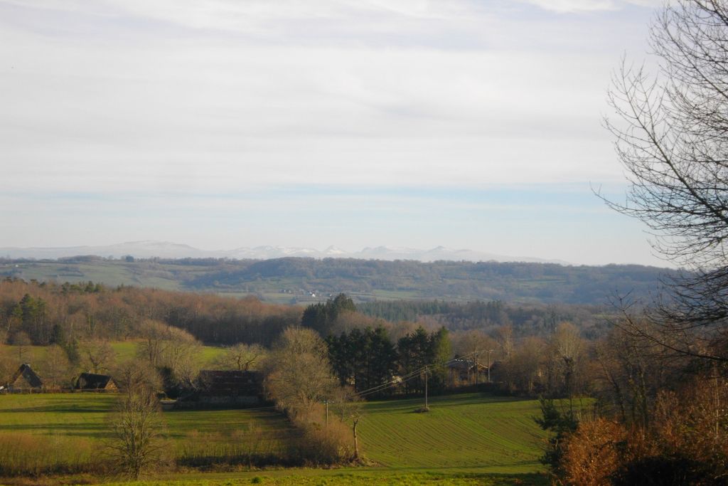
Neuvic
From Le Vent-Haut to Le Vent-Bas
Medium
3h30
11,1km
+297m
-297m
Loop
Yellow markers
Embed this item to access it offline
The route follows the "old road" which once linked Neuvic to Mauriac (Cantal) by way of the convent of Saint-Projet-le-Désert, now swallowed up by the Aigle dam. Beyond the impressive gorges of the Dordogne lies the Auvergne. The trail evokes life in the hamlets of the past: the séchadours (chestnut dryers) and the slate-covered wells are typical of the Haute-Corrèze.
5 points of interest
G.Salat - CC HCC  History
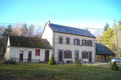
Former school at Le Vent-Haut
The location of this isolated school may be surprising, but it was obviously put there to be equidistant from several villages. Unfortunately, the decline in the number of pupils led to its closure; transformed into a large capacity gîte, it now hosts family get-togethers, green classes, nature discovery courses, etc.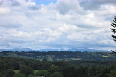
V.Mendras - CC HCC  Panorama
Monts du Cantal
Beyond the Dordogne, we will see the Monts du Cantal during this hike. This massif is, in fact, the remnant of a stratovolcano born 13 million years ago, the largest in Europe, eroded by collapse and glacial erosion.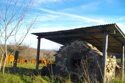
G.Salat - CC HCC  Small patrimony
Bread oven at Le Vent-Haut
In the past, many villages had their own bread ovens, often owned jointly by the inhabitants. In addition to allowing the production of this staple food, the bread oven, like the spring and the washhouse, was a particularly convivial place for the villagers to meet.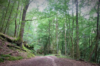
V.Mendras - CC HCC  Flora
FloraForest of the gorges
While the forest of Correze is often synonymous with agricultural activity and an economic asset for the region, here it is classified Natura 2000 and offers a privileged natural setting for the fauna and flora.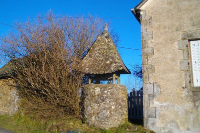
G.Salat - CC HCC  Small patrimony
Wells at Le Vent Bas
It was essential to provide access to drinking water in the heart of the village, especially when springs were less accessible or non-existent. The presence of many shallow water tables in the area explains the large number of traditional wells.
Description
- Park in the car park in front of the gîte (formerly Le Vent-Haut school). Set off on the track. Continue straight on until you reach the road, ignoring several tracks and paths on your right and left. Go straight ahead on the road for 50 m, then follow the path to the right. At the crossroads, keep left on the main track and continue downhill for a good kilometre.
- Turn left onto the path that winds its way up. At the T-junction, turn left; continue straight ahead until you reach the point where the tracks cross.
- Turn right and stay on the main track, which arcs round to Le Vent Bas, ignoring several paths and tracks on your right. Where the tracks cross in a T shape, turn left towards the village.
- At the first house, take the road to the left and follow it as far as the intersection with the D 982. Turn left and go up for 200 m.
- Take the trail to the right, cross the stream and follow the path that winds upwards and then straight on. After the steep path, follow the path on the left. Continue to the end of the wood, ignoring several paths on your left. Where the tracks meet, turn right and then left. Cross over to go into Le Vent-Haut.
- In the village, turn right twice. Follow the track. At the T-junction, go right: follow the track you took on the outward journey in the opposite direction; it leads back to the starting point.
- Departure : Parking at the former Le Vent-Haut school
- Arrival : Parking at the former Le Vent-Haut school
- Towns crossed : Neuvic
Forecast
Altimetric profile
Recommandations
The former school at Le Vent-Haut is located 5 km from Neuvic.
Information desks
Access and parking
From Neuvic, take the D 982 south towards Mauriac for about 6km. At the bend in the road, turn right and then go straight on for a few metres until you reach the accommodation centre.
Parking :
Parking at the former Le Vent-Haut school
Report a problem or an error
If you have found an error on this page or if you have noticed any problems during your hike, please report them to us here:
