The White Trail
Saint-Martial-le-Vieux
The White Trail
Difficult
4h
15km
+301m
-301m
Loop
Yellow markers
Embed this item to access it offline
This hike takes you to explore the forest of Châteauvert, a massif dominated by deciduous trees. Close to the highest point of the Creuse (932 m), we are in the presence of one of the highest beech forests in the region. On the way back, admire the tower of the ancient Château Châteauvert, which is mirrored in the pond.
5 points of interest
G.Salat - CC HCC  Heritage site
Saint-Martial le Vieux
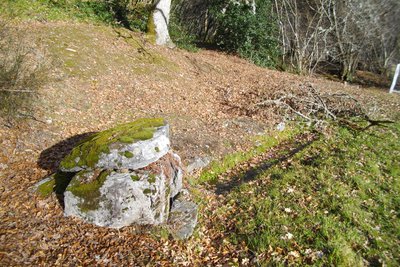
The commune of Saint-Martial, which had 139 inhabitants in 2018, is actually made up of several small villages without a real market town centre, as the church and the town hall are more than 3 km apart. At the starting point, don't miss the "fountain, watering place and wash house" and the listed 16th-century cemetery cross. On the way back, the recently restored church is worth a visit.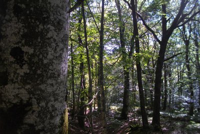
G.Salat - CC HCC  Heritage site
The Châteauvert forest
The forest of Châteauvert is a vast massif composed mainly of deciduous trees and, more particularly, of beeches. At over 900 metres, this forest has one of the highest beech forests in the region. It is defined as an old-growth forest, having been continuously forested for at least 150 years: naturalists, therefore, consider that its ecosystem corresponds to an optimum similar to environments where humans have never intervened.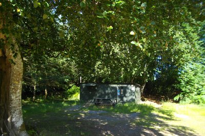
G.Salat - CC HCC  Heritage site
La Croix de Barbe
The presence of the typical hunters' hut at the start of this hike (the testimonies in the visitors' book inside prove that it is also used as a shelter for hikers, soldiers on manoeuvres, etc.) reminds us of the abundance to be found in the woodland undergrowth of the Plateau de Millevaches: game, blueberries, mushrooms: so many gourmet treasures that can be found on our restaurant owners’ menus.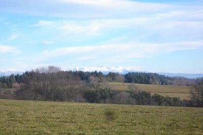
G.Salat - CC HCC  Panorama
The Massif du Sancy
This hike will offer you several viewpoints overlooking the highest volcano in mainland France, the Puy de Sancy. At 1885 metres above sea level, this summit is the highest point of the Massif Central. The two streams, the Dore and the Dogne, originate there, and their confluence forms the Dordogne.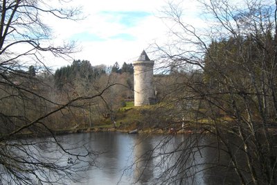
G.Salat - CC HCC  Heritage site
The old château
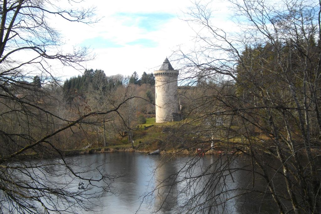
All that remains of the old château, probably dating from the 14th century, is a recently restored tower. The history of this estate, which included a château, farms and forests, is closely linked to the d'Ussel family, a great noble family of the Limousin, and they still own the estate. Although it can be viewed from the outside, this private property cannot be visited.
Description
Depart from the town hall (village of Sarsoux). Take the road towards Les Ortiaux for 150 m, then take the path on the left that leads to this village.
- Take the road to your left for 50 m and then the path to your right. Straight on at the first crossroads; turn right at the second to return to the track.
- Follow it to the right as far as Le Champ Fuzet.
- Before the house, take the track on the left. Follow the signage on this section: the path goes up the Châteauvert stream over a long distance. Towards the source, turn right at the first crossroads and then left at the next to reach La Croix de Barbe.
- Take the road to the right. At the next crossroads, follow the track to the right and then to the left for a significant distance. Stay on the main track. It becomes a road that leads to Becharias.
- 300 m after the end of the village, take the track on the right for 50 m; at the next crossroads, go straight on to reach Chateauvert.
- Take the road to the right, over the bridge. Fork to the right after the tower. At the end of the village, leave the path and follow a trail to the left at a wooden shed.
- At the road, turn left then right to reach Les Ortiaux. At Les Ortiaux, after the barn, the path takes you back to the starting point.
- Departure : Place de la Mairie, Saint-Martial le Vieux
- Arrival : Place de la Mairie, Saint-Martial le Vieux
- Towns crossed : Saint-Martial-le-Vieux, Saint-Oradoux-de-Chirouze, Lamazière-Haute, and Couffy-sur-Sarsonne
Forecast
Altimetric profile
Information desks
Place Quinault, 23500 Felletin
Access and parking
Be careful to find the starting point because St-Martial is made up of several villages, including Sarsoux. From La Courtine, follow the D 982 towards Ussel then follow the D 8 towards St-Martial. Continue for 4 km and then turn left towards Sarsoux Town Hall
Report a problem or an error
If you have found an error on this page or if you have noticed any problems during your hike, please report them to us here:
