Circuit of the Peux de Faux
Saint-Oradoux-de-Chirouze
Circuit of the Peux de Faux
Medium
2h
7,8km
+228m
-227m
Loop
Embed this item to access it offline
Walk in the heart of the forest of Châteauvert. This itinerary will take you to two viewpoints overlooking the Massif du Sancy and the Puy de Dôme. On the way back, discover an ancient forest at Peux des Faux with beech trees over 150 years old.
5 points of interest
G.Salat - CC HCC  Small patrimony
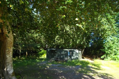
La Croix de Barbe
The presence of the typical hunters' hut at the start of this hike (the testimonies in the visitors' book inside prove that it is also used as a shelter for hikers, soldiers on manoeuvres. etc.) reminds us of the richness of the woodland undergrowth of the Plateau de Millevaches: game, blueberries, mushrooms, so many gourmet treasures that can be found on our restaurant owners’ menus.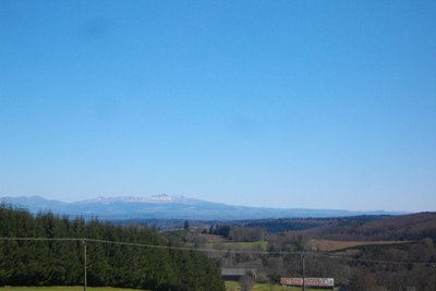
G.Salat - CC HCC  Panorama
The Massif du Sancy
This hike will offer you several viewpoints overlooking the highest volcano in mainland France, the Puy de Sancy. At 1885 metres above sea level, this summit is the highest point of the Massif Central. The two streams, the Dore and the Dogne, originate there, and their confluence forms the Dordogne.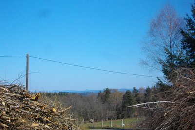
G.Salat - CC HCC PanoramaThe Puy de Dôme
The Puy de Dôme is an ancient volcano that gave its name to the eponymous department. At the height of 1,465 metres above sea level, it is the highest volcano in Chaine des Puys, a volcanic complex of 80 volcanoes.
A TDF antenna has become the symbol of the site and makes it very easy to identify. Also, at its summit is a Gallo-Roman temple dedicated to Mercury. While the bravest can make the ascent on foot, a rack and pinion train gives access to the summit.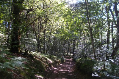
G.Salat - CC HCC  Heritage site
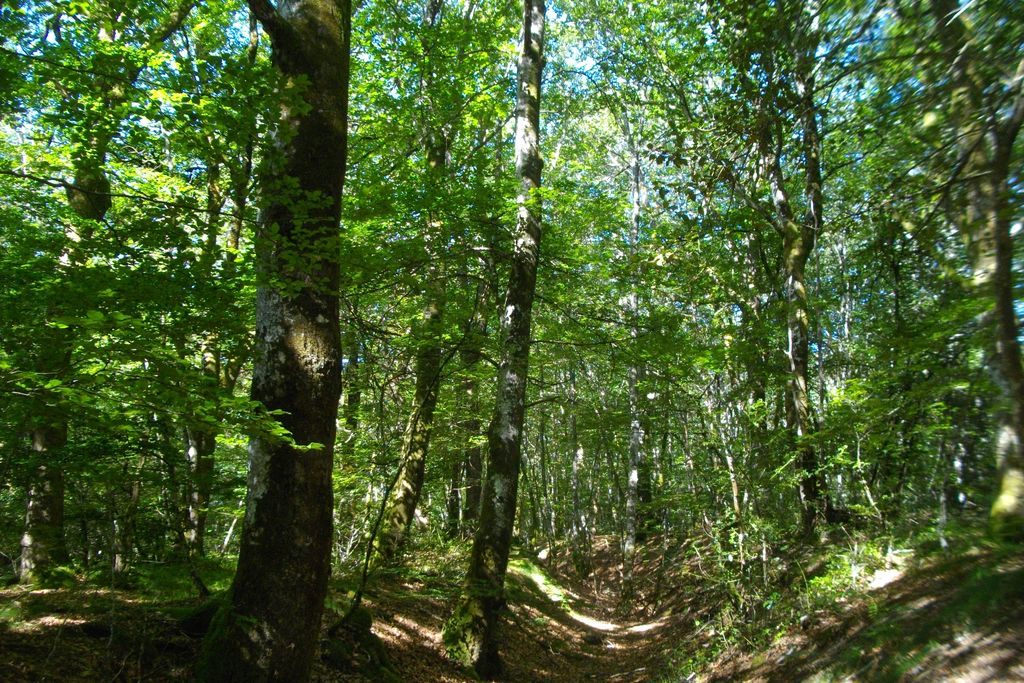
The Châteauvert forest
The forest of Châteauvert is a vast massif composed mainly of deciduous trees and, more particularly, beeches. At over 900 metres, this forest has one of the highest beech forests in the region. It is defined as an old growth forest, which has been continuously wooded for at least 150 years: naturalists, therefore, consider that its ecosystem corresponds to an optimum close to environments where man has never intervened.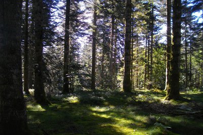
G.Salat - CC HCC  Source
The watershed
Once you reach the plateau, you are close to the highest point of the Creuse at 932 metres. This flat area marks a watershed: the springs that run north-west join the river Creuse, a tributary of the Vienne and then the Loire, while the others run towards the Dordogne.
Note that the low point of the Creuse is at the edge of the Creuse at Crozant, altitude 197 m.
Forecast
Altimetric profile
Information desks
More information
Report a problem or an error
If you have found an error on this page or if you have noticed any problems during your hike, please report them to us here: