Wells and springs

Combressol Brown mountain bike markers
Wells and springs
Difficult
1h15
13km
+314m
-314m
Loop
Embed this item to access it offline
This circuit will delight cyclists in search of paths that reflect the image of the Haute-Corrèze, such as paths through the extensive deciduous forests, winding roads, beautiful forest tracks, meadow edges and the chance to ride through charming hamlets.
With moderate gradients, it will delight amateurs as much as the most experienced, eager to discover this beautiful corner of Corrèze without too much difficulty.
Two shorter circuits (Maison à Tourelles and Les Abesses) will delight beginners.
With moderate gradients, it will delight amateurs as much as the most experienced, eager to discover this beautiful corner of Corrèze without too much difficulty.
Two shorter circuits (Maison à Tourelles and Les Abesses) will delight beginners.
3 points of interest

CC HCC  Panorama
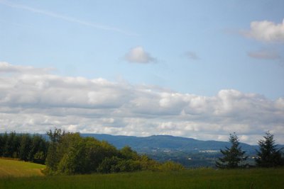
View over the plateau of Millevaches
Also called "Limousin Mountain" this large granitic plateau straddles the departments of Corrèze, Creuse and Haute-Vienne. Peat bogs, dry moors with heather, deciduous forests and meadows all contribute to its authentic landscapes.
CC HCC  Panorama
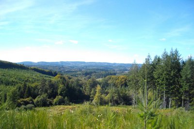
View over the Monédieres massif
A viewpoint over the Monédières massif with the Suc au May and the Puy de la Monédières. The Monédières massif is one of the seven landscape entities attached to the Millevaches Regional Natural Park in Limousin and covers an area of about 60 km². This protected granite region is located in the foothills of the Massif Central. Its dry moors are classified as Natura 2000 areas, synonymous with it being an exceptional site for flora and fauna.
G.Salat - CC HCC  Small patrimony
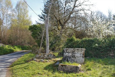
Traditional winch and peg wells
This type of well is not very common in the Haute-Corrèze because the water table is not as deep as in the north of the Limousin. It consists of a wooden structure that supports the winch and peg system.
Description
Marking: brown arrows, circuit number 17
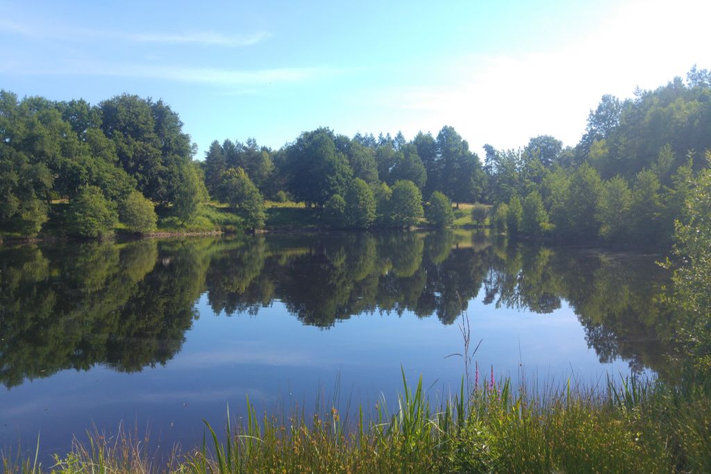
- Departure : Pond, Combressol
- Arrival : Pond, Combressol
- Towns crossed : Combressol
Forecast
Altimetric profile
Recommandations
Please note, pedestrians have priority
Information desks
Access and parking
Between Ussel and Egletons, take the D100 towards Lamazière, continue for 400m, then turn right. 250 m further on, turn right and then take the first left. The car park is located on the left by the pond.
Parking :
Pond, Combressol
Report a problem or an error
If you have found an error on this page or if you have noticed any problems during your hike, please report them to us here:
