The Champs Nègre
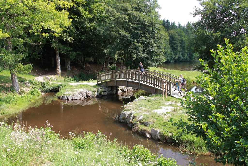
Ambrugeat Brown mountain bike markers
The Champs Nègre
Difficult
1h45
17,7km
+422m
-422m
Loop
Embed this item to access it offline
This circuit is part of the FFVélo Haute-Corrèze mountain bike base, the largest mountain biking area in France with 1000 km of marked circuits. A circuit classified red due to its length, but which does not involve any particular difficulty: ideal for an easy-going family outing that's quite long. The bravest will continue with the detour that constitutes the "Les croix de Millevaches" (Crosses of Millevaches) circuit. On the other hand, the lakeside portions are used by pedestrians, who have priority.
5 points of interest
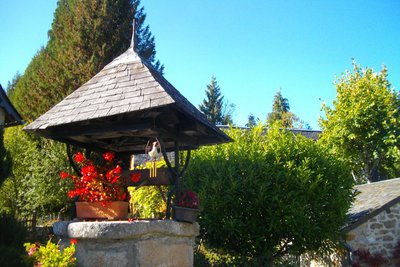
G.Salat - CC HCC  Heritage site
The village of Besse
The villages of Haute-Corrèze are all involved in agriculture. Walking through these hamlets always produces interesting discoveries during a hike: barns, mansions, crosses and monuments, traditional local architecture... In Besse, past the well, don't miss on your left the house with its sculpted lintels and then the calvary cross.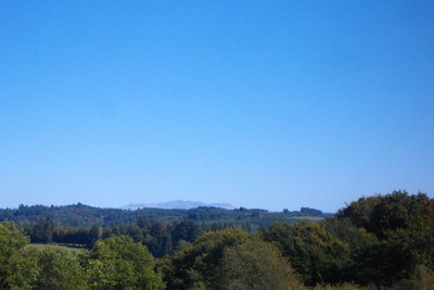
Le Sancy - G.Salat - CC HCC  Panorama
Le Massif du Sancy
This hike will offer you a remarkable view of the highest volcano in metropolitan France, the Puy de Sancy. At 1885 metres above sea level, this summit is the highest point of the Massif Central. The two streams, the Dore and the Dogne, originate there, and their confluence forms the Dordogne.
Le Mont Bessou - G.Salat - CC HCC  Panorama
Mont Bessou
In the distance, easily identifiable thanks to its television and telephone broadcasting antenna, stands Mont Bessou. At 976 metres, it is the highest point in the Limousin. When you return from your walk, make a detour to discover a magnificent viewpoint overlooking the Monts d'Auvergne from the top of its panoramic tower.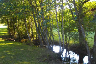
La Soudeillette - G.Salat - CC HCC  River
RiverThe Soudeillette
The Soudeillette is a tributary of the Luzège river which has its source in the peaty bottoms of the Millevaches plateau. The good water quality of the river favours populations of brown trout. The valley is home to many remarkable species, both plants and animals, which is why it has been classified as a Natural Zone of Fauna and Flora Interest. It has also been used by humans to power mills like the one in Pézareix.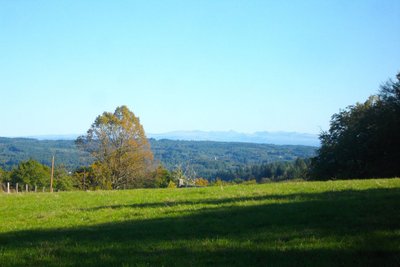
Les Monts du Cantal - G.Salat - CC HCC  Panorama
The Cantal Mountains
Another Auvergne massif with the Sancy, you will see the the Monts du Cantal during this hike. This massif is in fact the remnant of a stratovolcano born 13 million years ago, the largest in Europe, eroded by collapse and glacial erosion.
Description
Departure from the first car park at the entrance to the site. The circuit joins the lake and leaves to the left.
- Departure : Car park at the Lac de Séchemailles, Ambrugeat
- Arrival : Car park at the Lac de Séchemailles, Ambrugeat
- Towns crossed : Ambrugeat, Meymac, Davignac, and Maussac
Forecast
Altimetric profile
Information desks
Access and parking
From Meymac, head towards Tulle, then the tourist complex of Séchemailles.
Parking :
Car park at the Lac de Séchemailles, Ambrugeat
Report a problem or an error
If you have found an error on this page or if you have noticed any problems during your hike, please report them to us here:
