Les Eaux-Bois

Reterre
Les Eaux-Bois
Easy
3h30
12,5km
+263m
-262m
Loop
Yellow markers
Embed this item to access it offline
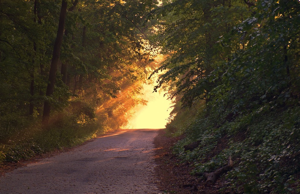
From cool undergrowth to gurgling streams, this circuit takes you from villages to legends, on the borders of the deep and mysterious Combraille.
3 points of interest

Reterre - Le Chat Cros - MCEA  River
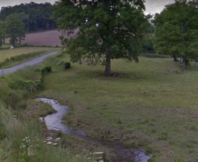
RiverThe Chat Cros
The Chat Cros is a tributary of the Tardes. The removal of the dam at the end of 2018 made it possible to restore its ecological continuity including the return and free movement of aquatic species such as brown trout and improvement of the water quality.
Reterre - Château de la Ville du Bois - MCEA  Heritage site
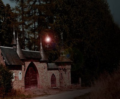
Château de la Ville du Bois
This château amazes as much as it amuses; let your imagination soak up this unique atmosphere and rediscover the stories of your childhood. Your mind hesitates between the evil witch and the beautiful princess trapped in this green setting.
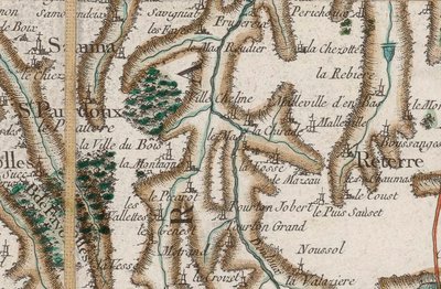
Sannat - Carte de Cassini - BnF  History
Le Masroudier
Formerly Le Mas-Roudier; "Mas", from the Latin 'mansus', in the Middle Ages meant an agricultural unit operated by a family; In Occitan, "Roudier" means wheelwright.
Description
- In the lower part of the village of La Chirade, before the last house, take the path on the left that goes down and then back up to Le Mas.
- At the entrance to the village of Le Mas, turn right and follow the path to the road.
- Take the road in front of you that goes up to Tourton Grand; just past the buildings, take a right turn at the cross and keep to the left.
- At the crossroads, turn left, cross the field and enter the woods; continue straight ahead until you reach the houses at Le Métrand.
- After the houses and before the crossroads, take the path on the right; at the road, turn right, go past the Moulin du Genêt and go through the hamlet of Les Genêts.
- At the crossroads, turn right, pass La Chassagnade and, before Les Trimouilles, turn right; follow the GR 46, go through Le Châtaignier, join the road and continue to La Chabanne.
- Before the crossroads with the D 19, turn right on the road to La Ville du Bois; turn right, go past the château; At the intersection, turn left and continue along the road as far as the lake.
- At the road, cross and take opposite the path through the woods to Le Masroudier.
- Turn right and follow the road to the intersection; keep to the right and take the first road on the left.
- At the crossroads, take the path on the right to reach La Chirade.
- Departure : La Chirade, Reterre
- Arrival : La Chirade, Reterre
- Towns crossed : Reterre, Sannat, and Arfeuille-Châtain
Forecast
Altimetric profile
Information desks
Rue de l'Etang, 23700 Auzances
Access and parking
Parking :
La Chirade, Reterre
Accessibility
- Emergency number :
- 112
Report a problem or an error
If you have found an error on this page or if you have noticed any problems during your hike, please report them to us here:
