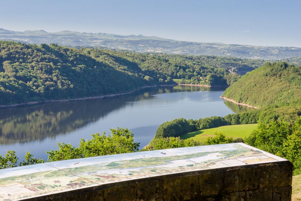
When La Vie smiles at you
Take these green tunnels that will lead you to the site of La Vie, with its exceptional panorama over the lake, Bort-les-Orgues. From here, at a glance, you can take in the departments of Corrèze, Puy-de-Dôme and Cantal. You will also have a breathtaking view of the Château de Val, dominated by the Cantal peaks.
6 points of interest
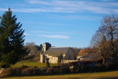
Eglise de Monestier-Port-Dieu - G.Salat - CC HCC  Heritage site
The church
On the way back from the walk, don't miss the detour to the church and its superb 17th-century altarpiece, classified as a Historic Monument in 1965 and restored in 1991. The central board has an original feature. The original canvas having disappeared, it has been replaced and the background of the present painting represents the site of La Vie before the dam was filled with water.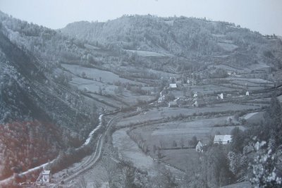
CC HCC  Heritage site
The village of Monestier
This village of 103 inhabitants is located overlooking the Dordogne.
The name Monestier signifies the presence of a monastic establishment founded in the 12th century by the monks of Port-Dieu. It was named Monestier pres le Port-Dieu and then became a parish.
Originally, the commune extended as far as the Dordogne, which was only a river, but the dam's impoundment in 1951 changed the face of the valley. The villages of Le Mialet, La Jugie and Estreture, as well as the railway line, are under water.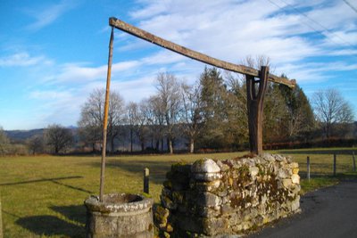
G.Salat - CC HCC  Small patrimony
The pendulum well
In the 18th century, a manorial residence, the seat of a barony, existed in the village on the site of the building now built as a school.
The pendulum well near this building is a remnant of the former castle farm. Its operation is simple: it is based on the principle of a lever, supported in its middle on a pivot, and carrying a container at one end and a counterweight at the other. Simply vary the weight of one of the arms to give it a rocking movement.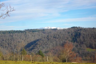
G.Salat - CC HCC  Panorama
Le Massif du Sancy
This hike will offer you several viewpoints over the highest volcano in mainland France, the Puy de Sancy. At 1885 metres above sea level, this summit is the highest point of the Massif Central. The two streams, the Dore and the Dogne, originate there and their confluence forms the Dordogne.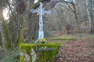
G.Salat - CC HCC  Small patrimony
The La Jugie Cross
This cast iron cross was saved from the village of La Jugie which today lies under the waters of the Bort dam. It is located on the old road that used to connect the village to the market town. In cast iron, it is decorated with an iconography of Christ, a chalice and two angels. The inscription, La Jugie, was added when it was restored in the 1990s.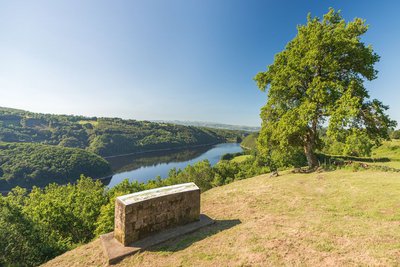
J.Mathiaud  Panorama
The site of La Vie
Dominated by the ancient volcano of Cantal, the Château de Val, dating from the 15th century, remains one of the best-preserved in Auvergne and Limousin.
When the dam was impounded in 1951, its natural environment was modified. Built on a rock more than 30 metres high, overlooking the Dordogne Valley, the feet of its walls were indeed surrounded by the waters of the Dordogne.
This château is open to visitors and holds a famous painting exhibition every year in summer.
Description
Depart from the church. Walk away from the church.
- At the first crossroads, take the street on the left. 50 m later, take a small round trip to the left towards the well, and then turn left on a trail lined with hedges. Go straight on, leaving a path on the left (the "De Villages en Barrages" - from Villages to Dams route). Continue through the woodland.
- When you reach the crossroads, at the buildings, turn right. 50 m further on, leave the path to take a left on a trail through the undergrowth. The latter leads to the road.
- Descend to the left for 30 m, then turn right at the La Jugie cross. This uphill trail leads to the road.
- At the intersection, turn left and go back 600 m to discover the panorama at the La Vie site. Retrace your steps and continue straight along the road. Turn right, then left at the next crossroads, to reach the starting point again.
- Departure : Place de l'église, Monestier-Port-Dieu
- Arrival : Place de l'église, Monestier-Port-Dieu
- Towns crossed : Monestier-Port-Dieu
Forecast
Altimetric profile
Recommandations
Follow the route marked in yellow because a section of the path is shared with the long-distance hiking route "From Villages to Dams".
Information desks
Access and parking
From Ussel, follow the D45 towards Bort, then the D105 towards St-Fréjoux. Go past the airfield. Go towards Monestier on the D27, the D159 then the D82.
Parking :
Report a problem or an error
If you have found an error on this page or if you have noticed any problems during your hike, please report them to us here:
