The apple circuit

Bourganeuf
The apple circuit
Medium
3h
10,4km
+274m
-274m
Loop
Yellow markers
Embed this item to access it offline
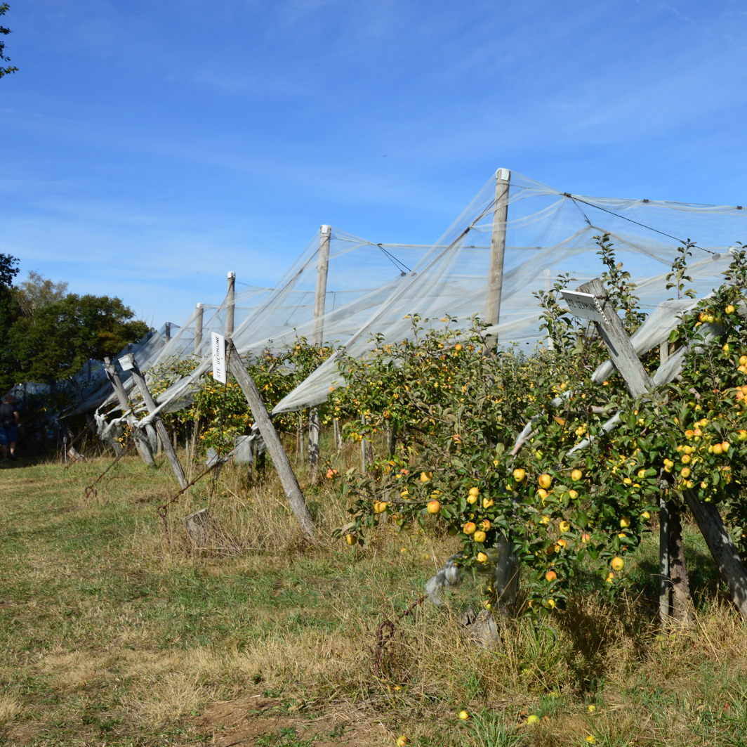
Walk along the old Gallo-Roman road which, crossing through Bourganeuf, was a part of the route linking Lyon to Saintes. It passes through La Régasse and the hamlet of Fonloup and will allow you to discover the orchards of Fonloup
3 points of interest

La Chapelle de l'Arrier - J.DAMASE / PSC  Small patrimony
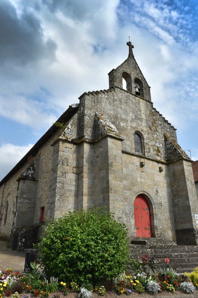
The Chapelle de l'Arrier
Composed of a flat chevet and four chapels, the Chapelle de l'Arrier dates from the 12th and 17th centuries. It was bought and rebuilt by the Brotherhood of White Penitents. Today, this building is classified as a historic monument. We can see the old Gothic vaulting and the two-bay wall bell tower and triangular pediment, which has, nevertheless lost a bell. We also see two engraved escutcheons, and the remains of tombstones.
la Mourne - bsavarypro  River
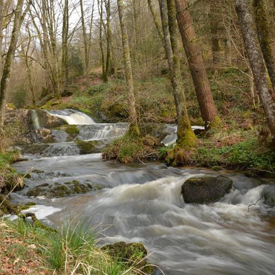
RiverThe Mourne
Unspoiled, this tributary of the Thaurion flows over a granite base, which it shapes over time. Due to the excellent quality of its water, the Mourne is an ecological niche for fish fauna: Brown trout, Perch, White-clawed crayfish... Notable is the presence of the otter, a nationally protected species. The aquatic flora is not very abundant there, because of the acidity of the granite bedrock.
Musée de l'Electrification - J.DAMASE / PSC  Heritage site
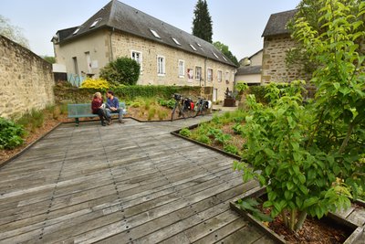
The Electrification Museum
To discover the history of the electrification of Bourganeuf, one of the first illuminated cities in Europe.
Description
Depart from Place de l'Arrier.
- Take the D 51 opposite, towards Saint-Martin-Château, then take the hill path. Keep going straight ahead. After the last house, take the path that goes down into the woods.
- Cross the stone bridge and turn slightly to the right. Then walk on, alongside a meadow on the left. Go straight ahead. At the end of the path, turn left, then immediately right. Join the D 940.
- Cross the road and go straight ahead towards La Régeasse. Then go up a road which crosses the river Verger. After the sign for La Régeasse, turn right and continue straight ahead. Follow the trail to the village.
- Go through the hamlet and, at the intersection, go straight ahead. At the end of the village, take the path on the left which goes through the trees. Continue straight ahead. Cross through the meadows on either side of the trail.
- At the road, turn left and then left again, a few metres further on. Before the village of Mas Neuf, turn right to follow a path through the fields. Admire the beautiful countryside, with a view over the town of Bourganeuf. Then cross several log bridges before zigzagging into the middle of a forest. Go past a meadow on the right near the orchards of Fontloup.
- Return to the road. (It is possible to visit the Fontloup farm). Turn left. Continue straight ahead and turn left after a field, and continue alongside it. At the end of the field, you can see the town of Bourganeuf. Snake through the woodland before turning left at the next crossing.
- Arrive at the village of Bouzogles. Turn left at the stop sign. At the village level, follow the next direction to the right. After the pile of wood, turn right. Go down to the Mourne, the small river at the bottom of the slope. Take care: the next 50 metres can be difficult. Cross the stream and catch up with the road to Bourganeuf.
- Cross the road to take the track in front of you. Enter the Faux-Mazuras state forest. Follow the main trail. Then take the track on the left. Take the path back to Bourganeuf. Leave the forest before going on alongside the meadows. Cross the wooden bridge over the River Mourne.
- Continue straight ahead. Turn left just before the funeral parlour. Walk on, alongside the meadow, and turn left at the end. On the D51, go up towards the town. (It is possible to visit the Electrification Museum). Then return to the starting point, Place de l'Arrier.
- Departure : Place de l'Arrier, Bourganeuf
- Arrival : Place de l'Arrier, Bourganeuf
- Towns crossed : Bourganeuf and Montboucher
Forecast
Altimetric profile
Recommandations
Equip yourself with shoes and clothing suitable for hiking. Choose a hiking tour that matches your abilities. Plan for provisions and water supplies according to the route you will take. Respect nature, collect up your rubbish and do not pick too much. Respect other users.
Information desks
12 Place Defumade, 23150 Ahun
Place du Champ de Foire, 23400 Bourganeuf
Access and parking
From Bourganeuf, depart on the D941.
Parking :
Place l'Arrier, Bourganeuf
Report a problem or an error
If you have found an error on this page or if you have noticed any problems during your hike, please report them to us here:
