The Thaurion gorges discovery trail
Thauron
The Thaurion gorges discovery trail
Easy
0h45
1,2km
+17m
-17m
Loop
Embed this item to access it offline
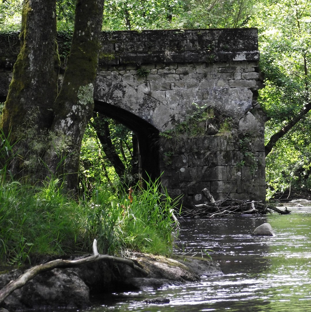
To the sound of the Thaurion cascading between the rocks that dot its bed, you will follow its path through a leafy forest encountering an old bridge, a heather-covered moor and monumental rocky outcrops. You can also observe the unobtrusive fauna that gravitates to the Thaurion, whose ecological wealth is well known (Wagtails, White-throated Dippers, traces of European otters).
5 points of interest
Le pont avant la Gaparde - Nathalie Manaud  History
The Gaparde
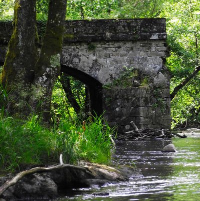
In 1833, the Thauron Municipal Council decided to build a bridge. But the first construction, made of wood and stone, proved too fragile to withstand the Thaurion flooding. In 1876, the municipality decided to rebuild it in stone. Imagine the farmers walking with carts and oxen towards Bourganeuf to get to the cattle market on Wednesdays. Crossing the bridge marked a pause before starting the terrible ascent of the road to La Chaise, nicknamed "La Gaparde" for its ability to "cut the legs out” from under the walker.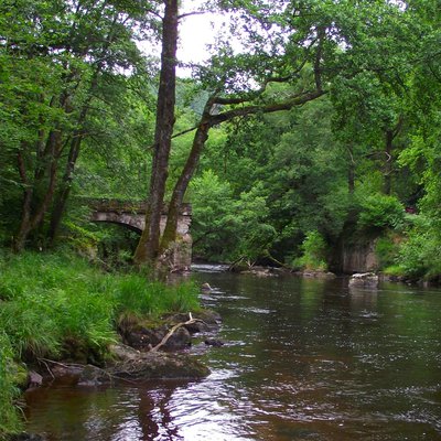
L'ancien pont du Thaurion - Nathalie Manaud  History
The Thaurion Gorge, summer 1944
The end of the summer of 1944 was marked by the withdrawal of German troops and the exodus of the militia from Limoges towards Allier. To hinder their movement, the Maquis carried out sabotage and ambushes throughout the road network. One morning in August, the inhabitants of Thauron were awakened by the rumble of an explosion, echoing throughout the valley... The bridge had been sabotaged: only one arch remained, making it impassable.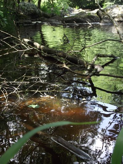
Canal d'amenée - Nathalie Nanaud  Renewable energies
The magic of electricity
The canal you walk along is the result of the ingenuity of a few inhabitants of Le Mas, a village very close to here. It is a headrace, a water supply canal that supplied a hydroelectric turbine located below. This hamlet was the first in the commune to welcome the magic of electricity into its houses at the beginning of the last century. However, this installation was quickly abandoned when the whole town was supplied with electricity in the 1930s. Before that, a mill for collective use already existed.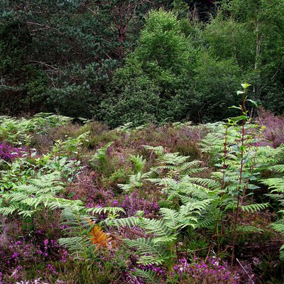
La lande sèche de Thauron - Nathalie Manaud  Flora
FloraThe dry heath of Thauron
You have here an example of a heather moor, a type of land that was, in the 19th century, predominant in the landscape of the Thaurion gorges. Today, it is a relic preserved and maintained for its biodiversity qualities. It consists mainly of Callune (one of the heather species) and Gorse.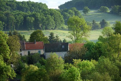
Déprise Agricole - Joel Damase / PSC  Panorama
Evolution of the landscape
It is difficult to imagine, in the middle of all this vegetation, that in the 19th century there was no forest. At that time, the demographic peak in the countryside led to the exploitation of the smallest parcel of land. Thus, the communal heath, where the villagers grazed their livestock in turn, stretched out in front of you as far as the eye could see. After the Second World War, the rural exodus that started at the beginning of the 20th century accelerated. The ensuing agricultural decline led to the gradual abandonment of the less fertile land and its natural afforestation.
Description
- From the bridge, take the path along the river until it rises up to an old bridge.
- At this bridge, the path forks to the left.
- Turn left at the crow's foot to start the return trip. This wide path climbs, and then you reach a ledge.
- Take the first pathway on the left that goes down to the river, then turn right before you get there. The path goes up in parallel with the road.
- At the intersection, do not return to the starting point on your left, continue straight ahead by the trail that joins a wide path and then, immediately, the road.
- Take the road on the left, then a few metres further on, the first trail on the right that climbs into the woods to a small heather moor.
- Once on the heathland, cross it by turning to the left following the ridge. Go down a narrow path that joins the road.
- Take the road to the right to finish the walk.
- Departure : Thaurion Bridge, between the villages of Thauron and La Chaise
- Arrival : Thaurion Bridge, between the villages of Thauron and La Chaise
- Towns crossed : Thauron
Forecast
Altimetric profile
Recommandations
The trail is narrow and strewn with roots and rocks by the river. Not accessible to pushchairs or people with reduced mobility.
Information desks
12 Place Defumade, 23150 Ahun
Place du Champ de Foire, 23400 Bourganeuf
Access and parking
At 4 km from Pontarion, follow the D10 towards Thauron / Gorges du Thaurion and at 1.5 km head south from Thauron.
Parking :
Thaurion Bridge, heading south, 1.5 km from the village of Thauron
Report a problem or an error
If you have found an error on this page or if you have noticed any problems during your hike, please report them to us here:
