The Beauvais Trail

Saint-Pierre-Bellevue Orange markers
The Beauvais Trail
Easy
1h
3,9km
+105m
-105m
Loop
Embed this item to access it offline
These vast areas of common land have, traditionally, been areas for pasture and food crops. You will find some traces from these ancient times on your journey: a plank bridge (bridge made up of granite slabs), hollow paths, agricultural benches, dry stone walls, pond dike, ruined mill... This centuries-old landscape was disrupted after the Second World War by the agricultural decline that affected the region and the State's desire to develop, through pine forstry, these lands now abandoned by humans.
3 points of interest

Arnica des montagnes, flore remarquable de la mazure - ©J.DAMASE/PSC  Flora
FloraFrom plants to medicine
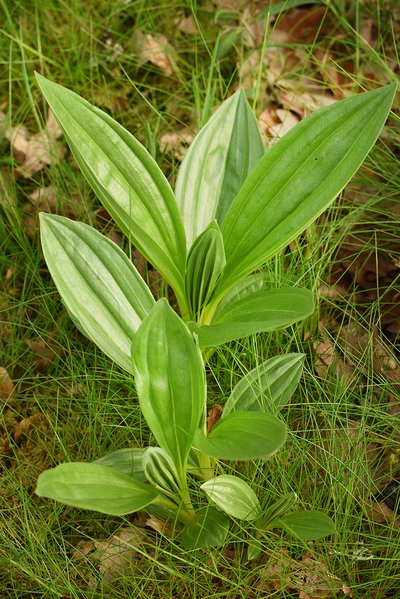
Several plants found here have medicinal and homeopathic properties. While their use is sometimes outdated, this is not always the case. Cranberries are now known for their berries, which we consume as Cranberry juice. The Stag's-horn clubmoss is a tiny fern that looks like a moss and has diuretic properties (beware it is protected, collection is prohibited). Mountain Arnica is well known for the treatment of bruises in the form of ointment.
Pont planche - bsavarypro  Small patrimony
The plank bridges
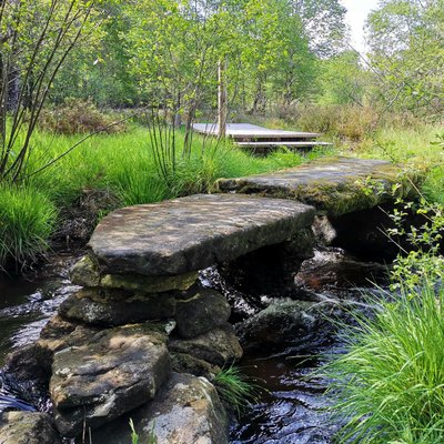
The plank bridge consists of two ends and a central pillar made of matching blocks that support granite beams. None of the construction is visible, the "planks" are just placed side-by-side. This type of bridge does not appear on the 1831 land registry map. It can be dated to the end of the 19th century. "Offerings" were a fee in kind or working hours, which each owner owed to the commune according to his property. Property tax has replaced this fee since the 1950s. The maintenance of bridges, roads or common lanes was ensured by this means.
Tourbière de la Mazure - ©bsavarypro  Peat bog
La Mazure peat bog
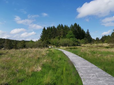
Covering an area of 280 hectares, this site, located in the communes of Monteil au Vicomte, Royère de Vassivière and St-Pierre-Bellevue is one of the most remarkable in the region in terms of well-preserved habitats but also in terms of rare and protected species.
It abounds in a mosaic of environments (streams, peat bogs, moors and forest) and many rare animal and plant species worthy of preservation.
Description
From the Beauvais reception area, take the earth path straight down between the meadows.
- Take the path on the right between the dry stone walls. Cross the Beauvais stream on a plank bridge, then cross the bog and forest plots to point 2.
- Take the path opposite, still between the dry stone walls, to the top of Puy Beaumont. Take some the time to admire the 300° landscape and enjoy a rest on the earth bench. Begin the descent by walking around a number of bends, through leafy plots, passing in front of an old shepherd's hut.
- At the bottom of the slope, turn left and walk along the edge of the Mazure peat bog to point 4. (this section is in common with the discovery trail of the moors and peat bogs of Mazure, so you could extend your route).
- At the crossroads, go straight ahead until you reach point 5.
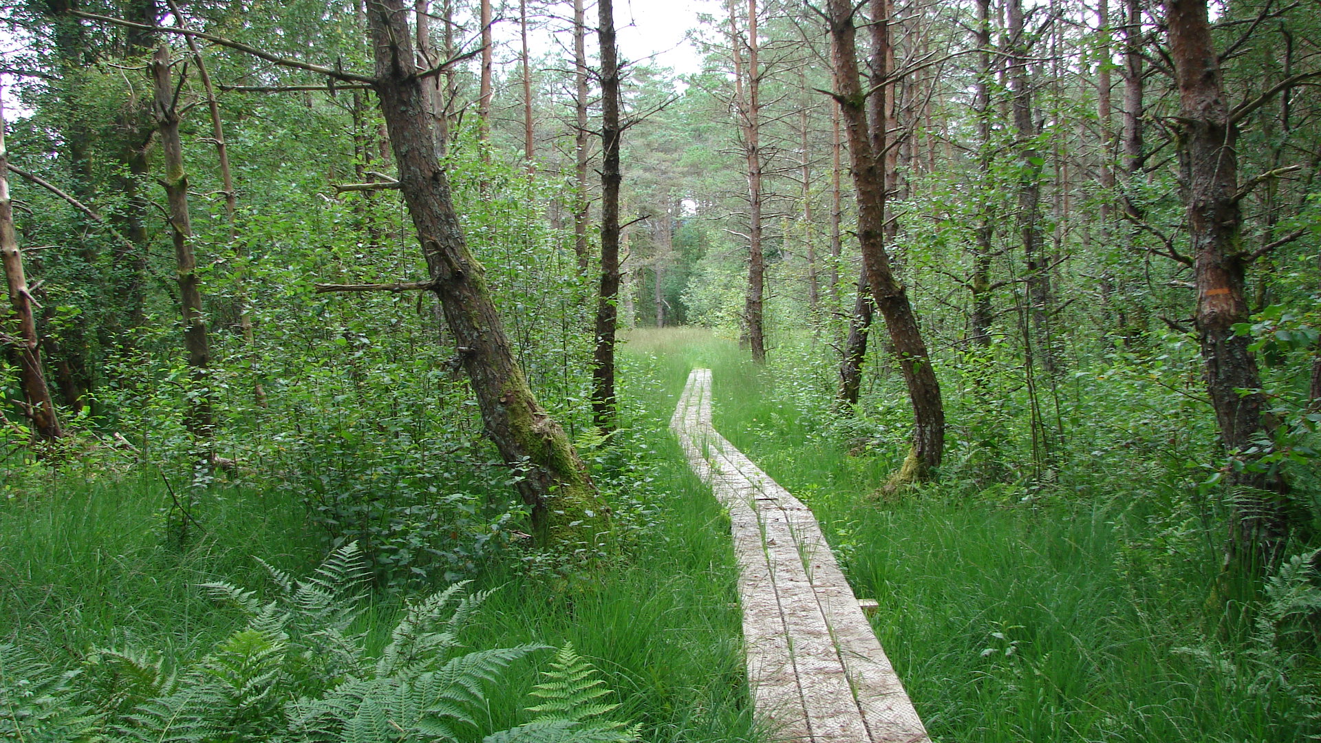
- Turn left into the forest plantation to reach the boardwalks. Walk through them to the stream, the Beauvais, then cross the footbridge to reach an old pond dyke. Below, explore the ruins of the old Beauvais mill, then take the path on the left that leads to point 6.
- Continue straight ahead to return to the reception area.
- Departure : Hamlet of Beauvais, Saint Pierre Bellevue
- Arrival : Hamlet of Beauvais, Saint Pierre Bellevue
- Towns crossed : Saint-Pierre-Bellevue
Forecast
Altimetric profile
Information desks
12 Place Defumade, 23150 Ahun
Place du Champ de Foire, 23400 Bourganeuf
Access and parking
17 km from Bourganeuf, follow the D8.
Parking :
Hamlet of Beauvais, Saint Pierre Bellevue
Report a problem or an error
If you have found an error on this page or if you have noticed any problems during your hike, please report them to us here:
