The Jarrauds waterfall discovery trail

Saint-Martin-Château
The Jarrauds waterfall discovery trail
Easy
0h30
1,2km
+31m
-31m
Round trip
Yellow markers
Embed this item to access it offline
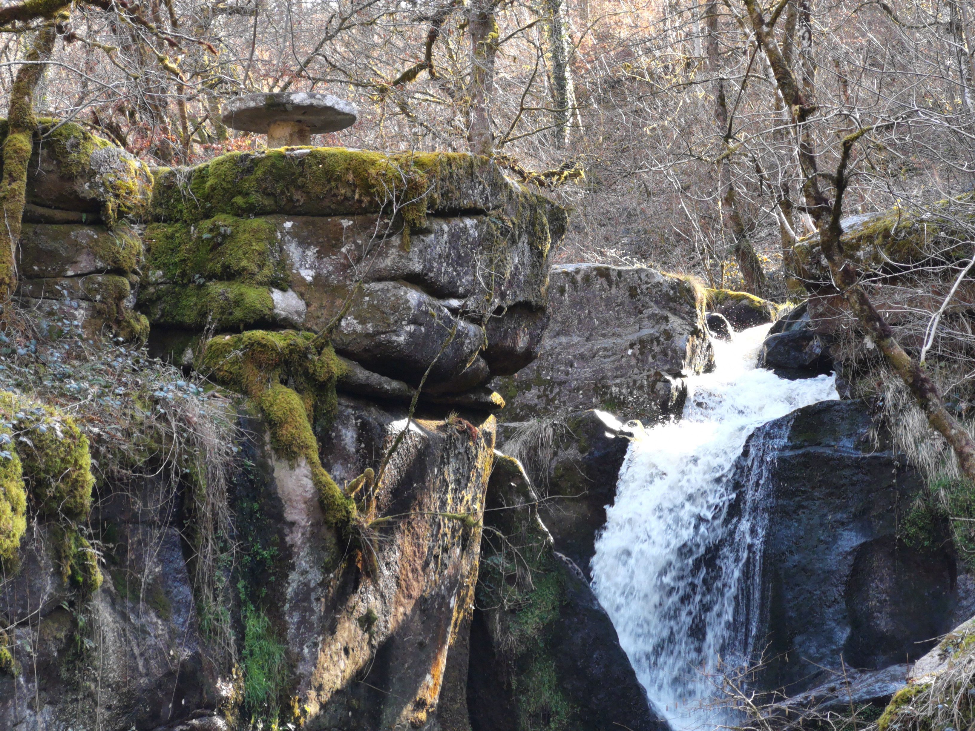
In a lush, green setting, covering an area of 51 ha, the Maulde meanders between the massive granite blocks it shapes as it passes, and then falls 15 m into a noisy waterfall. This waterfall is not only aesthetically pleasing; it is also associated with an amazing story: the first local experiments in electricity production and transmission to Bourganeuf, the "Town of Light".
3 points of interest

La Maulde - bsavaypro  Renewable energies
The Maulde, context and use
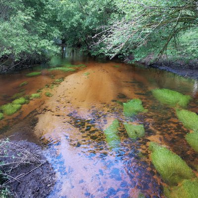
The Maulde is a river that originates in the Creuse. Access to the waterfall is in a wooded environment dotted with more or less visible boulders. The houses at the end of the path were once an old water mill (private property). The power of the water was then used to make flour. This river is used for electricity production in many places (Vassivière dams, Jarrauds micro-power station...). Further on, you will cross a diversion canal built in 1984 to generate electricity.
La Cascade des Jarrauds - bsavarypro  Geological interest
The formation of a waterfall
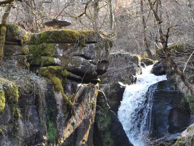
The formation of the current landscape is the result of several million years of geological movements and erosion phenomena. The alternation of freeze/thaw periods in the Quaternary era favoured the hollowing out of valleys; the hardest rocks remained, while the softest were eroded away by water. Which is how this waterfall was born, and erosion continues to sculpt the rocks. You will notice that the rocks near the waterfall have round or ovoid depressions called cupmarks or pots.
La Cascade des Jarrauds - Joel Damase / PSC  Expertise
The story of the electrification of Bourganeuf
Following demonstrations, in 1885, the town of Bourganeuf signed an agreement with an engineer from Paris, Ernest Lamy, to provide public lighting for the town. The use of the waters of the Mourne being unsatisfactory, this engineer undertook the transport of electricity over 14 km by connecting the Jarrauds site to Bourganeuf in 1888-1889, which was a real achievement at the time. From being the third French town to be fully electrified, it became one of the first towns in Europe to receive direct current electricity with a remote production site.
Description
- From the car park, head towards the main road. Take it on the left and cross the bridge.
- Just after the bridge, on the left, a stone staircase leads down to the embankment. At the bottom, turn left on the wide paved pathway. Follow it straight until you get to the houses.
- At the end of the wide path, when you reach the last house, a continuous path runs alongside a low stone wall. Take it and go up a few steps until you reach the top of a stone staircase.
- Go down the steps to the river.
- Cross the canal on the footbridge, then turn right and continue along the canal to a barrier.
- Take the metal staircase on the left that leads down the slope, then continue on the path that goes to the right.
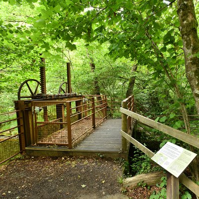
- A last narrow step, which forks to the left, provides access to a platform. From the platform, you can enjoy the view of the waterfall. It is possible to go down to the river by continuing along the path for a few metres. For safety and to respect private property, do not deviate from the landscaped path. Return to the car park by the same path.
- Departure : Car park for the Jarrauds waterfall, D512A, Saint-Martin-Château
- Arrival : Car park for the Jarrauds waterfall, D512A, Saint-Martin-Château
- Towns crossed : Saint-Martin-Château
Forecast
Altimetric profile
Information desks
12 Place Defumade, 23150 Ahun
Place du Champ de Foire, 23400 Bourganeuf
Access and parking
From Bourganeuf, follow the D51.
Parking :
Car park for the Jarrauds waterfall, D512A, Saint-Martin-Château
Report a problem or an error
If you have found an error on this page or if you have noticed any problems during your hike, please report them to us here:
