Between Tardes and Voueize
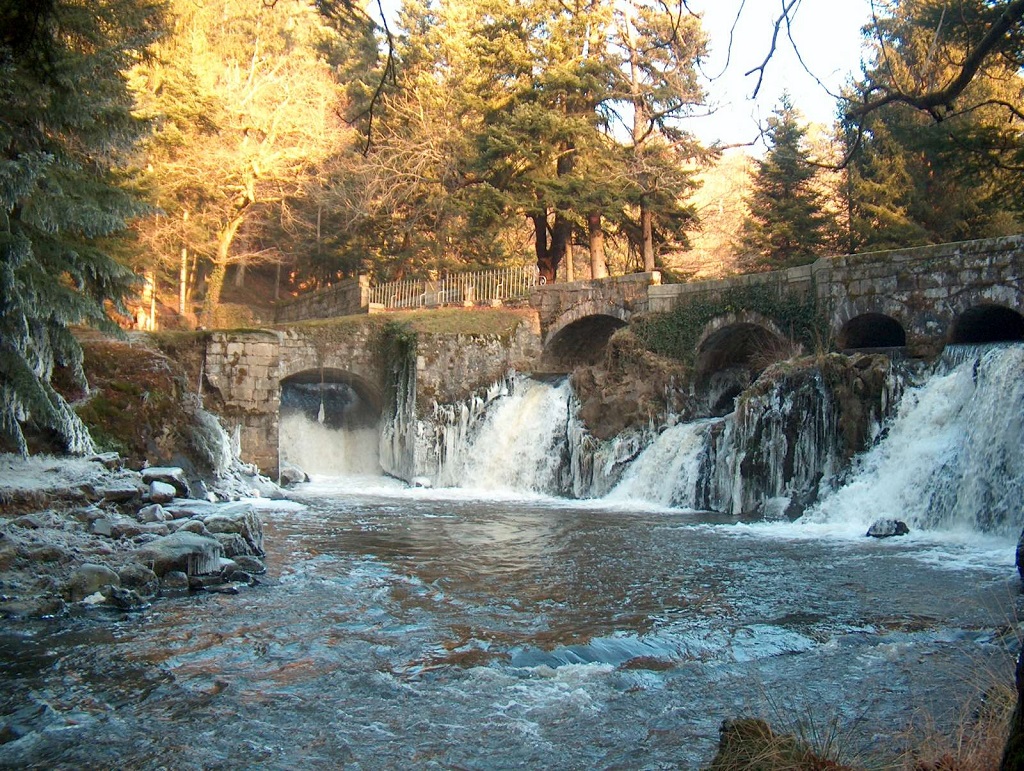
Peyrat-la-Nonière
Between Tardes and Voueize
Easy
4h
15km
+273m
-273m
Loop
Yellow markers
Embed this item to access it offline
To dawdle in the surroundings of Peyrat-la-Nonière is to discover the traces that humans have left behind, their history and the way they have always respected their rich and varied natural environment.
4 points of interest
Peyrat la Nonière - Bol de Gargantua - Commune de Peyrat la Nonière  Legend
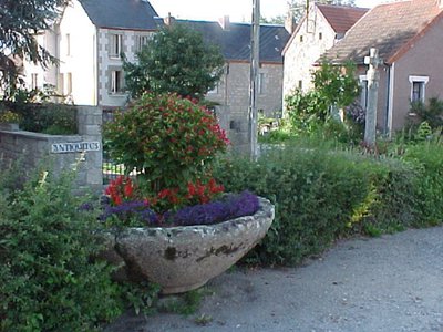
The Bol de Gargantua
An ancient baptismal font. Legend has it that Gargantua passed with his dog over the Barbot bridge which spans the Voueize river at the bottom of the village. Dazzled by this beautiful water, he took his bowl and filled it with water. But he nearly choked when he swallowed a donkey drifting down the river. Mad with rage, Gargantua threw his bowl away, and it landed on the village square.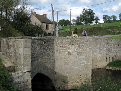
Pont de Bonlieu - Commune de Peyrat la Nonière  Heritage site
Bonlieu Bridge
Bridge built over the Tardes river (300 m round trip). The religious people of the village built it in the 14th century for the needs of the abbey. It consists of two pointed arches with triangular cutwaters.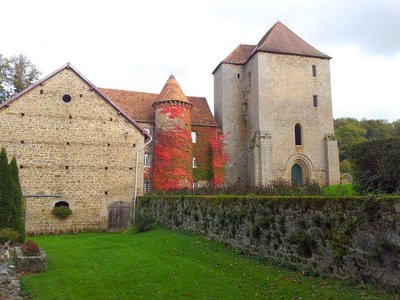
Abbaye de Bonlieu - Commune de Peyrat la Nonière  Heritage site
Bonlieu Abbey
In the 12th century, a few hermits settled and founded a Cistercian community this deep, wooded valley bottom, in which the Tardes river flows. In the 13th century, the abbey was at the head of a considerable estate with, in particular "granges", independent outlying agricultural properties, all superbly managed. The decline began in the 16th century, and the abbey was sold as a National Asset in 1790. Of the abbey church, only a piece of the apse remains. There are also the main buildings and a large square tower; it was built to reinforce the defence system after the ransacking by the British during the Hundred Years War.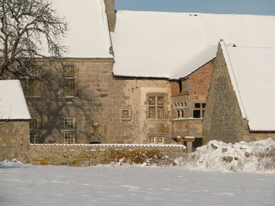
Peyrat la Nonière - Château du Mazeau - Commune de PEYRAT LA NONIERE  Heritage site
Château du Mazeau
The first manorial dwelling, known as "Château Vieux", was probably not built until the end of the 15th century, and only became the residence of the abbots of Bonlieu in the middle of the 16th century. It was at this time that an extension known as "Château Neuf" was built, all in cut stone, with a finely carved door and windows. The Italian-style gallery, remarkable for its terracotta medallions, dates from the 17th century.
Description
The start of this hike is at the Peyrat-la-Nonière stadium.
- Follow the departmental road down towards the town following the yellow markings on the right.
- Take the path for about 300 m then take the path on the right at La Bergerolles.
- Go on through the hamlet of Vauzelles. As you leave, take the path on the right up to the road D993.
- Turn left onto the D993 then turn right and continue to the hamlet of Lichiat.
- On the far edge of the hamlet, turn right and continue straight ahead until you reach the Bonlieu mill which is immediately before the towering walls of the abbey. Behind the mill, the waterfalls are a point of interest not to be missed.
- At the end of the road turn right towards Bonlieu. In the village, go and see the bridge of Bonlieu (300 m round trip) which was built in the 14th century for the needs of the abbey. At Bonlieu, take the first right and then right again and go straight on until you get to the D40.
- Follow the D40 for about 500 m then turn left. Continue straight ahead and cross the D993.
- Then turn right towards the hamlet of Luzier. Continue straight ahead to the village of Peyrat la Nonière to reach the starting point.
- Towns crossed : Peyrat-la-Nonière, Saint-Priest, and Saint-Domet
Forecast
Altimetric profile
Information desks
Rue de l'Etang, 23700 Auzances
Access and parking
7.5 km from Chénérailles via the D4.
Parking :
Stadium, Peyrat-la-Nonière
Accessibility
- Emergency number :
- 112
Report a problem or an error
If you have found an error on this page or if you have noticed any problems during your hike, please report them to us here:
