Meet the wind turbines

Gentioux-Pigerolles
Meet the wind turbines
Easy
3h
13km
+211m
-209m
Loop
Yellow markers
Embed this item to access it offline
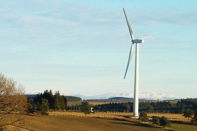
Take in the majesty of the highest peaks of the Plateau de Millevaches and wonder at the landscape in front of you. The Auvergne offers you one of the most beautiful panoramas you could wish for as a reward for your efforts: the Sancy massif, which stands proud, like a recently completed masterpiece. Photographers, get your lenses out!
3 points of interest

Eoliennes - OT Aubusson Felletin Tourisme  History
Wind energy
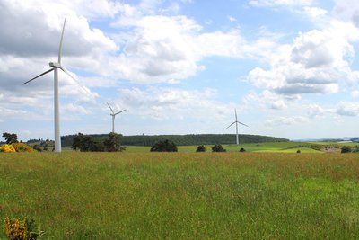
In the service of humanity for thousands of years, wind energy is now being used more and more extensively, generating many controversies among a public that is often under-informed. And yet, wind energy goes beyond its ancestral calling to slow down and mitigate the dramatic disruptions associated with the greenhouse effect.
Panorama sur le Massif du Sancy - Le Lac de Vassivière  History
Control of wind energy projects
Wind power projects can cause nuisances, but they are usually manageable provided that a serious preliminary study is carried out and that they work in close collaboration with environmental protection associations. The power plant located in the commune of Peyrelevade includes six wind turbines of 1500 kW each. The rotor centre of each wind turbine is 64 m, and its diameter is 70 m.
Le ruisseau des Cubaynes - Le Lac de Vassivière  River
RiverThe Cubaynes
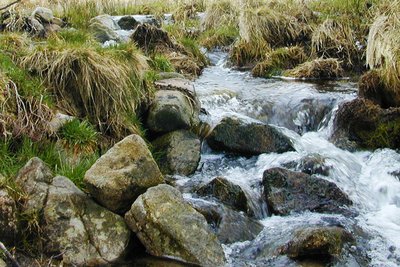
The Cubaynes is a stream that shelters teeming and unsuspected life in its banks and eddies. Demoiselles larvae coexist with the voracious Brown trout and Mayfly and Dragonfly larvae, coiled under a rock, benefit from the excellent water quality. The fisherman, reading the water accurately, whips the air and delicately places his lure within reach of his prey. We flirt here with the very essence of the Millevaches plateau...
Description
- From the car park in front of the old town hall of Pigerolles, go up to a small road parallel to the D8; turn right. Continue straight ahead until the stop sign, turn left on the D8 then turn right towards Neuvialle.
- Take the first track on the left alongside the Cubaynes watercourse. Continue on this track leaving all the small trails on each side, climb the steep path to the next intersection (panorama).
- Turn right, go about 200 m and continue along the path, still on the right. Leave a first path that goes down through the undergrowth on the right and ou will reach the next intersection.
- Take the next track on the right which goes upwards, and you will see a large white cross on the right. Panorama over the wind turbines and the village of Pigerolles on the right.
- Turn right and then immediately to the left (marker for the Amicale des Maquis de la Haute Corrèze). Continue this track on the left while skirting the wind turbines. 300 m on the left is the Puy Brut boundary stone (panoramic view of the Gentioux plateaus and the Monts d'Auvergne in clear weather).
- Turn right and follow the wide wooded track. After a small steep path, you arrive at the summit of Puy Groscher (view of the Monts d'Auvergne on the right). Continue until you reach an intersection.
- Turn right at the intersection and follow the track until you reach the road. Turn right and stay on the road until you reach the edge of Pigerolles.
- On the D8 as you enter the village, take the small road that goes up on the left and turn immediately to the right into the path that runs alongside the B-road. After 200 m turn left, pass in front of the church and take the minor road on the left. Continue, turning right, and you arrive at the car park.
- Departure : Former Town Hall, Pigerolles
- Arrival : Old Town Hall, Pigerolles
- Towns crossed : Gentioux-Pigerolles and Peyrelevade
Forecast
Altimetric profile
Recommandations
Is in the midst of the park
The national park is an unrestricted natural area but subjected to regulations which must be known by all visitors.
Information desks
Place Quinault, 23500 Felletin
Transport
Public transport >> www.aubusson-felletin-tourisme.com
Access and parking
20 km from Felletin, take the D992.
Parking :
Former Town Hall, Pigerolles
Accessibility
- Emergency number :
- 112
Report a problem or an error
If you have found an error on this page or if you have noticed any problems during your hike, please report them to us here:
