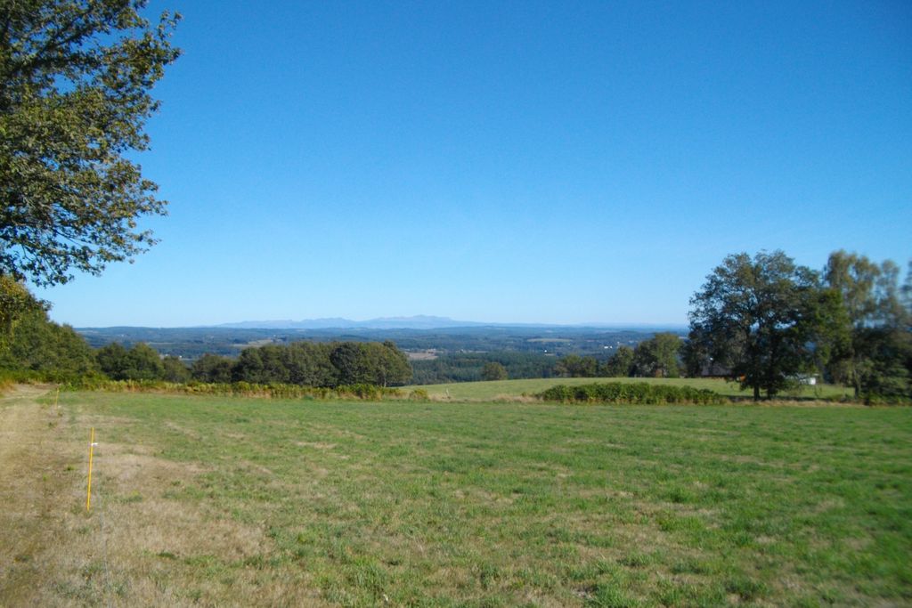
Saint-Setiers - Red track
Saint-Setiers Red mountain bike markers
Saint-Setiers - Red track
Easy
1h
10,7km
+250m
-251m
Loop
Embed this item to access it offline
This circuit is part of the FFVélo Haute-Corrèze mountain bike base, the largest mountain biking area in France with 1000 km of marked circuits. It takes up the cross-country ski tracks of Saint-Setiers and can easily be linked to the circuits of the blue, yellow and green tracks. It is the most difficult of the four.
1 point of interest
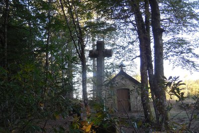
Chapelle - G.Salat - CC HCC  Small patrimony
The bust of Saint Sagittarius
In the church, you can see the bust of Saint Sagittarius, the saint-evangelist of the plateau and patron saint of Saint Setiers. The bust is revered throughout the year and is permanently decorated with ribbons that symbolise the clothes of sick children.
The Saint Sagittarius pilgrimage still takes place on the Sunday closest to 13 May. The saint's bust is taken out of the church and carried in procession to the good fountain where the water is taken. This is followed by a mass in the chapel.
Description
Marking: yellow arrows
Departing from the car park of the cross-country ski base. Head towards the natural camping area.
- Departure : Car park at Chalet de la Croix de la Mission, Saint-Setiers
- Arrival : Car park at Chalet de la Croix de la Mission, Saint-Setiers
- Towns crossed : Saint-Setiers
Forecast
Altimetric profile
Information desks
Access and parking
From the D36 (Meymac-Felletin), follow the D174 towards Saint-Setiers.
Parking :
Car park at Chalet de la Croix de la Mission, Saint-Setiers
More information
Report a problem or an error
If you have found an error on this page or if you have noticed any problems during your hike, please report them to us here: