The devil's gully discovery trail
Le Monteil-au-Vicomte
The devil's gully discovery trail
Easy
1h30
2,9km
+73m
-73m
Loop
Yellow markers
Embed this item to access it offline
This trail is full of legends, evolved in a mysterious wooded atmosphere, dotted with monumental granite outcrops. At the sound of the Thaurion waterfalls, you will discover the water at the heart of nature and human activities as well as the picturesque legend of the devil's gully.
4 points of interest
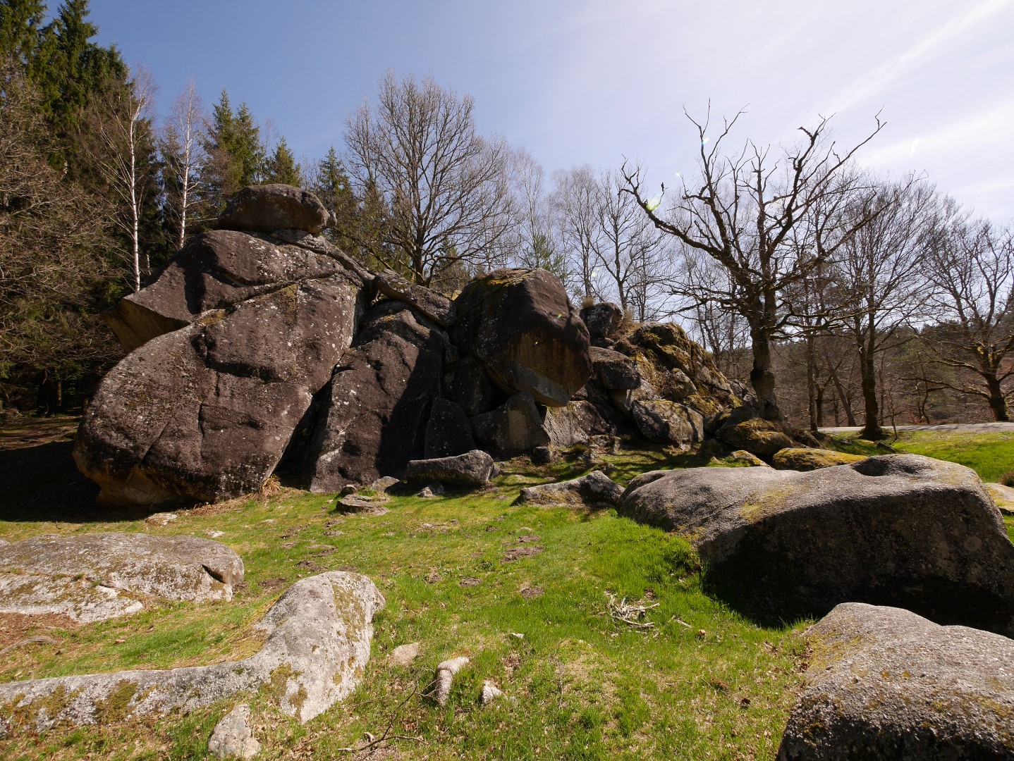
Diable-Rigole - Christian Staebler – Pic Bois  Legend
A diabolical legend
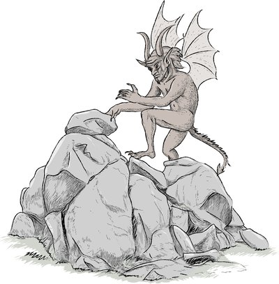
The legend tells the story of the monks at the monastery in the village of Châtain who, to ensure the irrigation of their crops, had the idea of diverting water from the river via a canal. To do this, they made a deal with Satan to have the work done in one night before the cock crowed. When the work was almost finished, the monks woke the cockerel, and thus deceived the devil. The devil was so furious that he struck the "devil's rock" violently with his foot, breaking it with a thunderous din.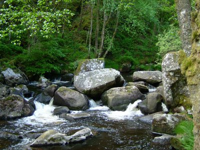
La rigole du Diable - Comcom Creuse Sud Ouest  River
RiverA living river
With a length of 125 kilometres, the Thaurion passes through diverse landscapes and is noted for its exceptional biological diversity, recognised by its classification as a Natura 2000 site. Bats, molluscs, birds, mammals, and insects populate this valley occupied by deciduous woodlands, moors, megaphorbs, and other meadows. The presence of freshwater pearl mussels and Brown trout are indicators of water quality, but this ecosystem is very fragile.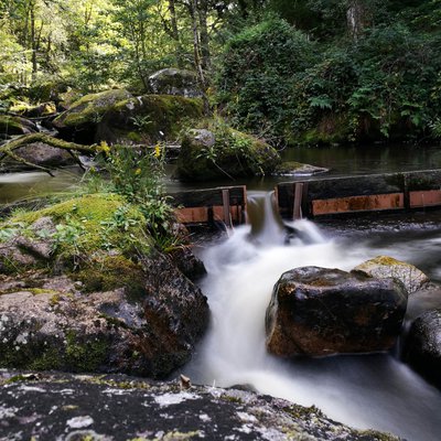
Barrages sur la Rigole du Diable - b.savary  Site
SiteWater, hydroelectric power
As early as the end of the 19th century, the Creusois people wanted to use the hydraulic power available to produce electricity. The city of Bourganeuf was a pioneer in this field, becoming one of the first European cities to use remotely generated electricity for street lighting in 1889. Since then, many dams/mills have been built to produce renewable energy.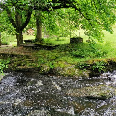
Forêt le long de la Rigole du Diable - bsavarypro  Forestry
Water and the forest, their interaction
Water, an essential element for life, is essential for the growth of a forest. Conversely, trees are an integral part of the river ecosystem. Forestry is one of the main economic activities of the territory. Wood is a renewable resource. However, practices must be adapted to limit their impact on the environment and ensure their sustainability.
Description
- From the car park, go towards the road by taking the track leading to the car park. Cross it and take the small staircase that leads down the slope.
- Turn left and follow the course of the Thaurion. After crossing the damp ground, the path climbs upwards, turning to the left.
- At the top, turn right, leave the stone staircase (with metal railings) that goes down to the left. Take care, awkward passage. Slip straight between the rocks to go down to the viewpoint overlooking the valley (secured by a guardrail). Once you have enjoyed the panorama, turn around, go up to the top of the staircase you left previously and take it.
- At the bottom of the stairs, on the left, continue following the river and, after trying to see the hidden waterfall, go up to the left to observe a huge rocky outcrop, then return to the river.
- Go along the riverbank to a waterfall; the path goes up on the left to bypass a rocky outcrop, then goes down again (watch out for slips).
- Slip between the rocks and follow the bank until the next waterfall.
- Go down the metal staircase and take the footbridge. Take a break before leaving the river and take the wide path that climbs (very steep) to the road.
- Cross the road at the small stone staircase in the embankment opposite. Climb these few steps and then turn right diagonally to cross the abandoned road and head towards the road opposite.
- Take the path that runs along the road in the woods until you reach the top of a wooden staircase.
- The tarmac track climbs on the left and thus begins the return to the car park. Follow this wide track that crosses meadows and then enters a large coniferous forest.
- Continue straight on this track through the communal forest until you reach the foot of the Devil's Rock and the car park.
- Departure : Devil's Rock
- Arrival : Devil's Rock
- Towns crossed : Le Monteil-au-Vicomte and Royère-de-Vassivière
Forecast
Altimetric profile
Recommandations
Trail not accessible to people with reduced mobility and strollers. Walking shoes/trainers strongly recommended.
Information desks
23460 ROYERE DE VASSIVIERE
12 Place Defumade, 23150 Ahun
Place du Champ de Foire, 23400 Bourganeuf
Access and parking
From Royère de Vassivière, take the RD7 towards la Rigole du Diable, the devil's gully.
Parking :
Devil's Rock
Report a problem or an error
If you have found an error on this page or if you have noticed any problems during your hike, please report them to us here:
