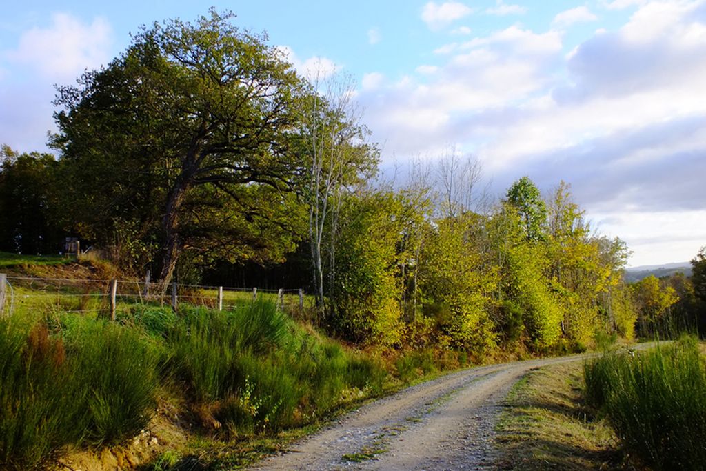
Larbre Circuit
Take a look up and discover breathtaking panoramic landscapes before unlocking the secrets of the Saint-Hilaire archaeological site, which covers more than 2000 years of history from a Gallo-Roman mausoleum to a modern church (in summer). In the village square of Moutier-Rozeille, explore the choir of the Romanesque church with its 15th-century portal and observe its intriguing capitals.
Attachment
- Downloadpdf
Label FFRP
4 points of interest
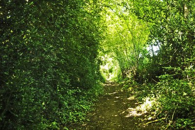
Chemins des buis - Tourisme Aubusson Felletin  Flora
FloraThe boxwood path
A natural curiosity is this little trail which wraps you in vegetation as if to protect you from view, and intoxicates you with the unique scent of boxwood.
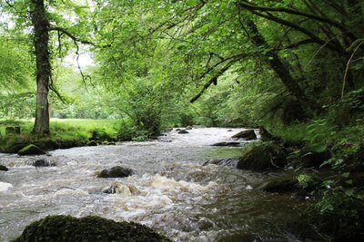
Gorges de la Rozeille - Tourisme Aubusson Felletin  River
RiverView over the gorges of La Rozeille
This small fish-bearing river slides into the hollow of a deep valley and creates deep gorges that contrast strongly with the surrounding landscape, giving it a torrential appearance in some places.
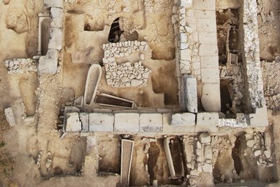
Site archéologique Saint-Hilaire - Jacques Roger  Archaeology
Archaeological site
Several excavation campaigns have uncovered this site, occupied by humans for 1800 years, and in which nearly 400 skeletons have been discovered, as well as sarcophagi, a Gallo-Roman mausoleum and a Merovingian tombstone. This site, with its great archaeological wealth, is not yet well-known.
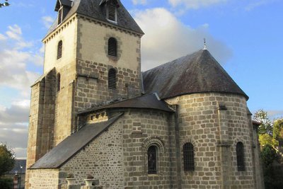
Eglise de la Nativité de la très Sainte-Vierge - Tourisme Aubusson Felletin  Heritage site
Church of the Nativity of the Blessed Virgin Mary
This 11th-century church belonged to a monastery. It was partly destroyed by the Protestants and then rebuilt in the 17th century and preserved, the bell tower, the vaulted choir, the altarpiece, the statues and paintings. The facade dates back to the 16th century.
Description
Leaving from the church square, in the commune of Moutier-Rozeille (hiking departure sign).
- Go up 50 m to the left of the starting sign, then take a right onto Rue Jean Mazetier.
- Take the road to the right of the statue and continue along the path.
- Take the track on the left.
- Take the track on the left and go up to the road.
- Turn right and follow the road for 250 m.
- Before the intersection with the D19, take the track to the left which goes up on the hill.
- Turn right and go up the track via the village of Perissat
- Turn right, and after 20 m take the track on the left.
- Cross the D21 and continue opposite the minor road for 150 m then take the small path along the field on the left and continue in the same direction to reach the track.
- Leave the track, then take the road on the right for 20 m and take the track on the left.
- Cross the D19, take the road opposite for 50 m then turn left, and continue on the path and keep to the right,
- Continue opposite, leaving the path on the right.
- Take the D19 on the right for 270 m.
- Take the path to the left, then, on the track, go to the right.
- Turn left on the D19 for 700 m until you reach the village of Saint-Hilaire. Go through it, leaving the D19 on the left.
- Turn right, then take the track to the village of Larbre.
- Take the road that goes down on the left for 320 m.
- Take the track on the right for 50 m then keep left on the track that goes down into the valley.
- Turn left on the D982 and drive along it for 470 m towards Felletin (ATTENTION: very busy road junction).
- Follow the D21 on the left for 120 m and, after entering Moutier-Rozeille, (sign) take the path on the left and go up to the village.
- Departure : Place de l'église, Moutier-Rozeille
- Arrival : Place de l'église, Moutier-Rozeille
- Towns crossed : Moutier-Rozeille
Forecast
Altimetric profile
Recommandations
Can be split into shorter circuits.
D982: very busy road, be careful.
Information desks
Place Quinault, 23500 Felletin
63 rue Vieille, 23200 AUBUSSON
Access and parking
6 km from Aubusson, take the D941 then the D982 and the D21.
5 km from Felletin, take the D982 and then the D21.
Parking :
Accessibility
- Emergency number :
- 112
Report a problem or an error
If you have found an error on this page or if you have noticed any problems during your hike, please report them to us here:

