Aigueperse
Saint-Hilaire-Foissac
Aigueperse
Easy
2h30
7,3km
+144m
-144m
Loop
Yellow markers
Embed this item to access it offline
Servants of God and martyrs have left their names to many parishes. Such is the case of the commune of Saint-Hilaire-Foissac, which still has monumental crosses on its land, probably arranged along an ancient route.
Description
- From the church square, go up the main street, past the town hall and then the cemetery until you reach a crossroads.
- Continue straight ahead on the D62E and take the right-hand path. It goes through the woods. Use the trail that runs alongside an ancient pasture. Take the road on the left for 40 m, then the path on the right. It leads to old ruins covered with periwinkle. Continue straight ahead on the road.
- At the crossroads, take the road to the right, then take the small sunken path bordered by hedges that runs between the trackways to the left. Leave the path to the right.
- Facing the stream that uses the path as its course, turn right and walk along the field which is lined by remarkable old oaks. Then, at the crossroads, continue straight ahead along the path that leads to Aigueperse.
- In the hamlet, go down to the right, pass the cross (where you can see "IHS", "Iesa Homines Salvator", "Jesus the Saviour of Men") and continue along the D124 to the right (the landscape opens out onto the gorges of the Luzège and the massif of Sancy). Descend by the road on the left in Pradines (on the left, a remarkable covered stone well, built right up against a bakehouse) and continue on the right on the main road.
- After the bend, take the right-hand path, then the sunken path on the left and continue straight ahead. Go down by the road on the left (cross carved on both sides, notice the carvings "IHS", "1692" and the fleurs-de-lis), then take the D124 on the right (view in the foreground over the gorges of the Luzège; in the background, you can make out the gorges of the Dordogne; to the left at the bottom, opposite, the massifs of Sancy and Cantal) and find the crossroads where you began your outward journey.
- Follow the road on the left to get back to the starting point.
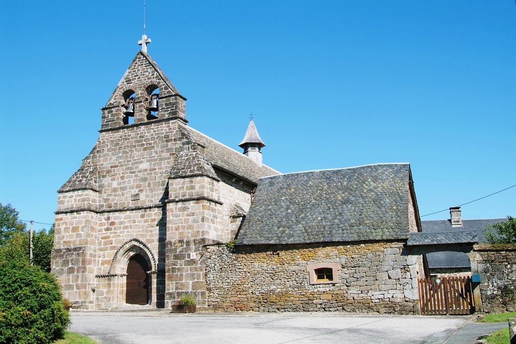
- Departure : Place de l'église, Saint-Hilaire-Foissac
- Arrival : Place de l'église, Saint-Hilaire-Foissac
- Towns crossed : Saint-Hilaire-Foissac
Forecast
Altimetric profile
Information desks
Carrefour de l’Epinette, 19550 Lapleau
1 rue Joseph Vialaneix, 19300 Egletons
Access and parking
12 km southeast of Egletons by the D16 and D62E.
Parking :
Place de l'église, Saint-Hilaire-Foissac
More information
Report a problem or an error
If you have found an error on this page or if you have noticed any problems during your hike, please report them to us here: