Chateaux and valleys
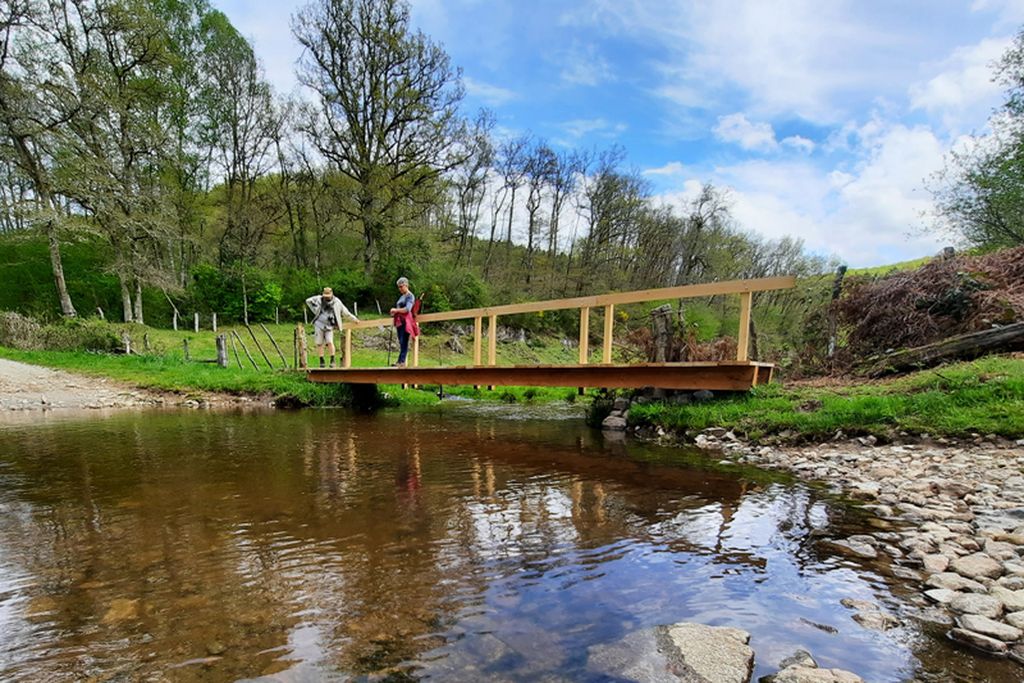
Felletin
Chateaux and valleys
Difficult
6h
21,1km
+598m
-598m
Loop
Embed this item to access it offline
From the historical heart of Felletin, explore the valleys of the Creuse and Dejoune, which are home to a rich and varied aquatic fauna and flora. On the heights, the chateau of Bas-Bouteix with its beautiful early 17th-century facade, and that of Arfeuille built in 1480 on the site of a former fortified chateau from the 13th century. Residences listed in the inventory of historic monuments.
6 points of interest
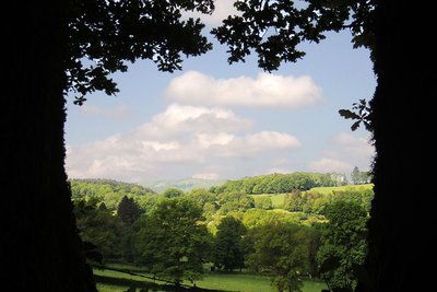
Vue sur le plateau de Millevaches - Office de tourisme Aubusson Felletin  Panorama
Viewpoint overlooking the Millevaches Plateau
Also called "Limousin Mountain" this large granitic plateau straddles the departments of Corrèze, Creuse and Haute-Vienne. Peat bogs, dry moors with heather, deciduous forests and meadows all contribute to its authentic landscapes.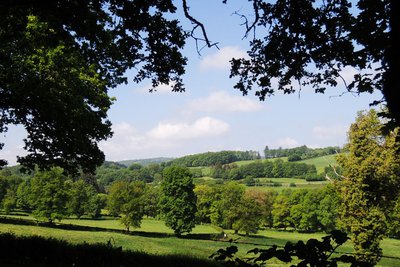
Haute vallée de la Creuse - Office de tourisme Aubusson Felletin  Panorama
View over the upper Creuse valley
This river has its source at an altitude of 816 m south of Felletin on the Millevaches plateau. It runs 264 km and crosses the Creuse, the Indre, the Indre-et-Loire and the Vienne rivers, then flows into the Vienne river. Its name comes from Celtic etymology, and means "deep valley".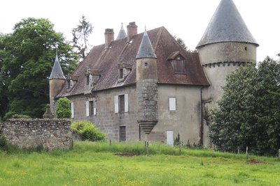
Château du Bas Bouteix - Office de tourisme Aubusson Felletin  Heritage site
Château du Bas Bouteix
A private residence, from the 17th century, with a quadrangular main building with towers and corbelled turrets at the corners, and a straight, central staircase. Defensive elements are still in place (machicolations for dropping stones or boiling oil on the enemy, and musketry loopholes).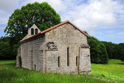
La chapelle Fontfeyne - Office de tourisme Aubusson Felletin  Small patrimony
Fontfeyne Chapel
This building dedicated to the Nativity of the Virgin Mary dates back to the 12th century and was part of an old hospital run for centuries by nuns. Several restorations were carried out in the 15th and 19th centuries. It houses a polychrome wooden pieta from the 16th century.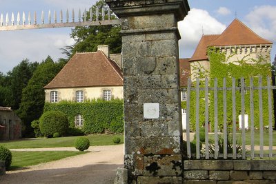
Château d'Arfeuille - Office de tourisme Aubusson Felletin  Heritage site
Château d’Arfeuille
A private residence whose estate has belonged to the same family for more than 700 years. Built in the 12th century, this castle was enlarged in the 15th and 18th centuries. It has a fine courtyard and a wooded park. The dovecote was transformed into a chapel in the 19th century.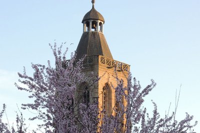
Clocher de Sainte-Valérie - Office de tourisme Aubusson Felletin  Heritage site
View over Felletin and the bell tower of Sainte-Valérie
A small town located in the upper Creuse valley, north of the Millevaches plateau, and which built its wealth on trade. The church at Sainte-Valérie, decorated with gargoyles and statues, was founded by Benedictine monks and has one of the most beautiful Gothic bell towers in Limousin.
Description
- Depart from the front of the tourist office, and go down the Grande Rue for 150 m.
- Take Rue Quinault and, after 100 m, turn right.
- Take the path on the right up to the hamlet of La Faye.
- Take the road to the right.
- Take the path on the left.
- Cross the D23 and take the track opposite to the hamlet of Fressanges.
- Turn left on the road and go through the hamlet.
- As you leave the hamlet, take the path on the right before the water tank.
- At the crossroads of the four paths, turn left for 30 m and cross the road then take the road opposite leaving the 1st, then the 2nd, and the 3rd road on the right.
- Turn right onto the D93, follow it for 420 m, and take the road on the left which crosses the watercourse, the Dejoune (Beware, difficult to cross in case of heavy flooding).
- Turn right to Sannebèche then left at the entrance to the hamlet, and continue along the road for 250 m.
- Take the track opposite for 200 m and keep to the left, leaving the path on the right.
- Take the track on the left which goes down to Villedeau, then take the road on the right which goes through the hamlet.
- Take the path which descends on the left as far as the river La Dejoune.
- After the bridge, take the path on the right for 50 m, cross the river and go up the track as far as Bas Bouteix on the main track without taking into account the paths on the right and left.
- In the hamlet, take the road on the right and pass in front of the castle, then, 250 m further on, take the road on the left until you reach the D10. Turn right for 400 m.
- Take the track on the left that leads to the Fontfeyne chapel (picnic table) and continue on the right-hand track that goes up into the fir plantation until you reach the road, then turn left.
- Take the track on the left until you reach Provenchère, and take the road on the right.
- At the crossing, turn left towards Felletin.
- To explore the Château d'Arfeuille, take the road on the right for 450 m then come back to n°20 to continue the circuit.
- Take the path on the right until you get to the pond, then turn left before the dam, continue to La Borie and go through the hamlet.
- At the crossing, turn right, then 200 m pass the water tanks and take the path on the left that leads to the Chapelle de Beaumont. Go down "Beaumont road" to return to the starting point.
- Departure : Tourist Office, Felletin
- Arrival : Tourist Office, Felletin
- Towns crossed : Felletin, Saint-Quentin-la-Chabanne, and Saint-Frion
Forecast
Altimetric profile
Recommandations
Itinerary can be split into smaller circuits by taking the road. Be careful on the path that crosses the stream, La Dejoune: it is difficult to cross when it is flooded!
Information desks
Place Quinault, 23500 Felletin
Transport
Public transport >> www.aubusson-felletin-tourisme.com
Access and parking
10.5 km from Aubusson, take the D982.
Parking :
Rue Reby Lagrange
Accessibility
- Emergency number :
- 112
Report a problem or an error
If you have found an error on this page or if you have noticed any problems during your hike, please report them to us here:
