The Wolf Leap
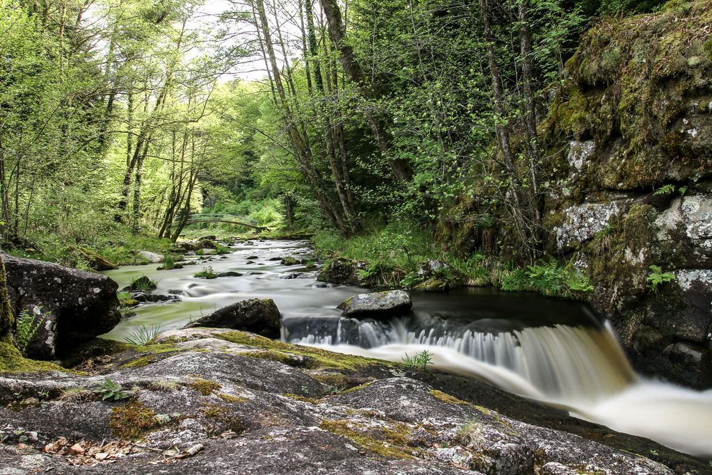
Treignac
The Wolf Leap
Easy
2h
6,4km
+186m
-186m
Loop
Yellow markers
Embed this item to access it offline
This circular walk through woods, water and meadow, joins Lake Bariousses, a place for swimming and water sports. This path runs alongside the Vézère; a river appreciated by fishermen and kayakers, and which provides access to the iconic site of Le Saut du Loup, Wolf’s Leap.
6 points of interest
N.Jumelle - Office de Tourisme Terres de Corrèze  Site
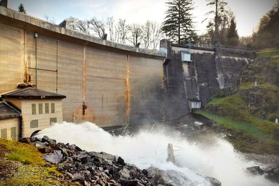
SiteThe Bariousses Dam
The Treignac dam, a "vault" type dam, was built between 1949 to 1951 for the production of hydroelectricity. The power plant, powered by a penstock, after a 164 m x 7 km fall, is located in Chingeat. The power plant has a capacity of 32.5 MW, which is equivalent to the consumption of a city of 36,000 inhabitants.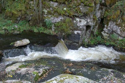
Le "Saut du Loup" - Office de tourisme V2M  River
RiverThe "Wolf Leap"
A few metres downstream from the footbridge and at the foot of the dam, the Vézère narrows between two granite blocks. When water is released when the dam opens, this first passage forms a small waterfall, with light rapids, a magical place for kayakers.
B.Charles - OT Terres de Corrèze  Lake
LakeLake Bariousses
Artificial water retention on the Vézère river, the 100-hectare lake, 25 m deep, carries "European Blue Flag" accreditation. It is the ideal place to relax and have fun, with family or friends. In an exceptional setting with a variety of meadows, wooded plots and rock walls, this "outdoor sports resort" offers you a wide range of activities in all seasons: canoe-kayaking, pedal boat rental, mountain bike rental and hiking, aqua park in summer (Le petit futé)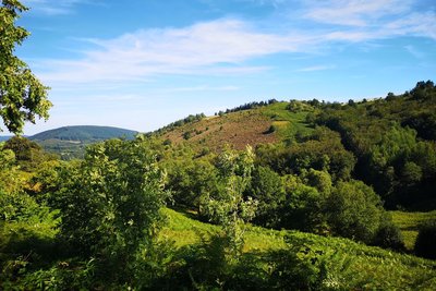
L.Léonard - OT Terres de Corrèze  Panorama
The Massif des Monédières
The Monédières massif is one of the seven landscape entities attached to the Millevaches Regional Natural Park in Limousin, covering an area of about 60 km². This protected granite territory is located in the foothills of the Massif Central, southwest of the famous Millevaches plateau. Its dry moors are classified as Natura 2000 areas, synonymous with it being an exceptional site for flora and fauna.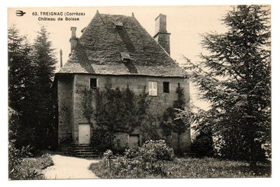
Le Château de Boisse - Office de tourisme V2M  Heritage site
The Château de Boisse
This square building with an attic is a private property that is not open to the public. It was built in 1646 for Jacques Joseph de Boisse, Lord of Treignac, on the site of an old fortified town, known since the 12th century. The building remained the property of the de Boisse family until the Revolution. According to the 1747 land registry, it included two pavilions and underground passages. The stables for the horses and millstones burned down after 1819; the roof was redone around 1935 in Allassac slate.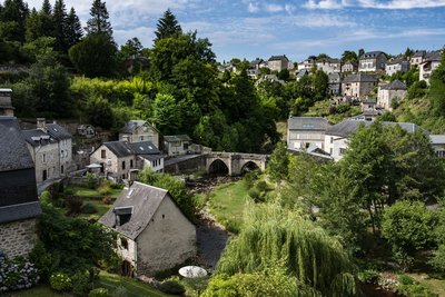
P.Baudry - Office de tourisme terres de Corrèze  Panorama
The medieval city of Treignac
Built at the foot of the Monédières, in the gorges of the Vézère, Treignac is a medieval city with its 13th-century bridge, its churches and chapels, its grain market, its 15th-century panoramic tower, the twisted bell tower of its Notre-Dame-de-la-Paix Chapel and its half-timbered houses. A popular stopover for pilgrims from Compostela on their way to Rocamadour, it is also renowned for its white water, which makes it a world-class canoeing and kayaking spot.
Description
Go down the small road, face the Bariousses dam.
- Go along the Vézère as far as the footbridge; From this point on the right bank, a round trip (200 m) allows access to the Saut du Loup site.
- Cross the footbridge, climb the steep slope and then turn left at the first crossroads. Then walk alongside Lake Bariousses to the small beach at Vaud.
- Continue on the ancient sunken path that leads to Vaud. As you leave the village, there is an old fountain, still famous today for the quality of its water.
- Continue along the road to an old quarry. Turn right in front of this quarry. Then follow the path and admire the many views over the Monédières massif.
- Walk straight ahead to the village of Boisse. Take a right turn on the road and enjoy the view of the Château de Boisse.
- At the end of the village, you can admire the panoramic view over the medieval city of Treignac. Further down, another 200 m, venture to the crossroads at 800m. Turn left, go down to Vézère and cross the footbridge to reach the finish line.
- Departure : Bariousses Dam, Treignac
- Arrival : Bariousses Dam, Treignac
- Towns crossed : Treignac
Forecast
Altimetric profile
Recommandations
Be careful near the dam! It is important to comply with the safety instructions on the notice boards. Potential danger during heavy waterfalls when the dam is open!
Information desks
Transport
Nearest railway station: Bugeat (10km)
Access and parking
At the southern tip of the Lac des Bariousses, 2 km northeast of Treignac, following the RD 940.
Parking :
Below the viewpoint of the Bariousses dam, Treignac
Report a problem or an error
If you have found an error on this page or if you have noticed any problems during your hike, please report them to us here:

