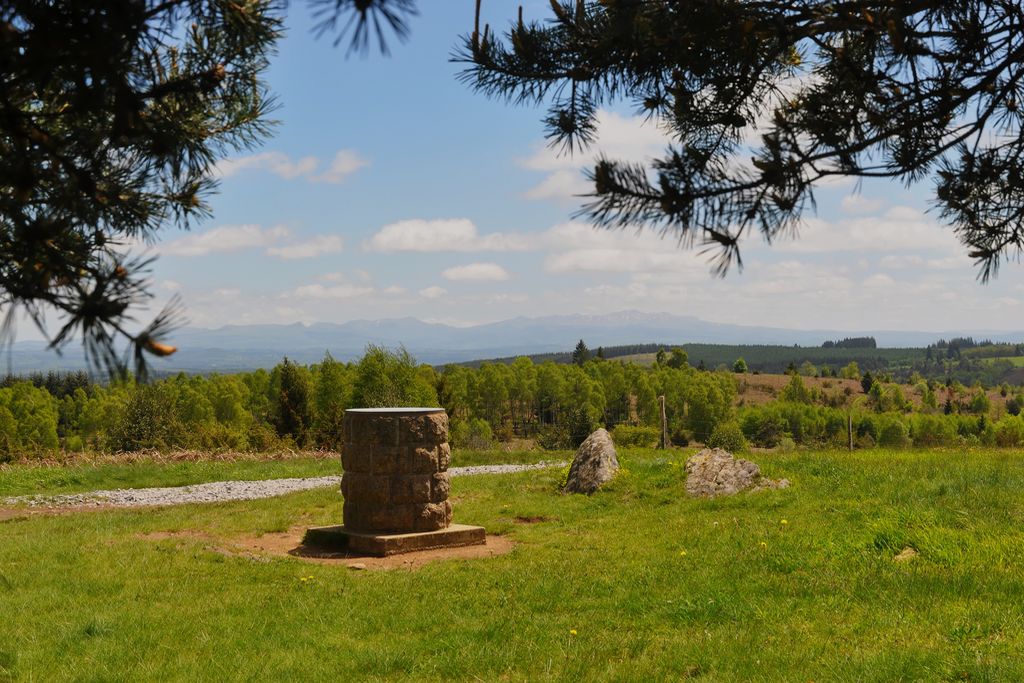
On the Plateau des Agriers

Lamazière-Haute Brown mountain bike markers
On the Plateau des Agriers
Medium
2h
16,8km
+361m
-361m
Loop
Embed this item to access it offline
This circuit is part of the FFVélo Haute-Corrèze mountain bike base, the largest mountain biking area in France with 1000 km of marked circuits. This easy-going circuit has a succession of descents and ascents in false flats. An enjoyable walk through the forest (the Massif des Agriers extends over 600 ha) ending up at Le Puy du Vareyron (complete panoramic view of the Monts d'Auvergne); ideal for a family outing.
Description
Marking: brown arrows
Departing from the Agriers picnic area, 3 km from the village of Lamazière-Haute.
- Departure : Agriers picnic area, Lamazière-Haute
- Arrival : Agriers picnic area, Lamazière-Haute
- Towns crossed : Lamazière-Haute, Couffy-sur-Sarsonne, and Eygurande
Forecast
Altimetric profile
Information desks
2 place de l'église, 19340 Eygurande
Access and parking
From Eygurande, follow the D21 towards Lamazière-Haute. In Lamazière, take the partial tarmac forest road for 3 km in the direction of Les Agriers.
Parking :
Agriers picnic area, Lamazière-Haute
Report a problem or an error
If you have found an error on this page or if you have noticed any problems during your hike, please report them to us here:
