The Augne Loop
Augne
The Augne Loop
Difficult
3h45
14,6km
+376m
-376m
Loop
Yellow markers
Embed this item to access it offline
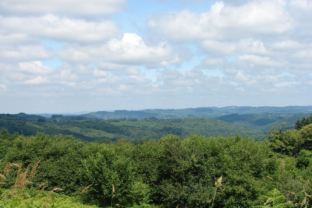
The landscape and the traditional architecture of Augne will help you understand the history of the town and to enjoy being in contact with nature.
Description
- From the church, follow the street and turn right. Go up towards the town hall. At the crossroads with the RD68, follow the stony track on the left. On the plateau, take the first road on the left up to the village of La Vedrenne.
- In the village, go to the right, and go down the small road. When you reach the RD68, follow it to the right and then, at the crossroads with the RD129, turn left and then immediately to the right and take the earth path that goes into the woods.
- At the crossing with a stone track, turn right, cross a small stream and continue until you reach the village of Lachaud.
- Take the RD14 on the left which descends and then ascends. At the top, follow the small road to La Marache on the right. Go through this hamlet and continue towards Masjoubert. Continue on the tarmac road then on the grass path to Vervialle.
- Go ahead and continue on the main road through the village. Before the bend, turn right and follow a small earth path bordered by dry stone walls and box. At the bottom, turn left and, before the bend, follow the downward path on the right.
- Once you reach the road, follow it to the left, cross the stream and go to the right up the path that goes through a wood and then meadows. At a wide crossroads, turn left. Before the houses in the hamlet of La Grange, turn right on the earth path until you reach the road. Follow it to the right. Continue on this small road until you reach the village of Negrignas.
- At the first crossroads, turn left into the village, take the small path opposite and follow the lane that bypasses the village to the left. Continue until you reach the junction of the RD14 and 68. Head towards the village of Augne. At the next crossing, turn right onto the RD68, then, 100 m further on, turn left onto an earth path below. Turn left again at the first road and continue down through the woods. At the road, turn right.
- 150 m further on, follow the forest track on the right which runs along the valley of the Artigeas stream. After 600 m, go up to the right through the woods by the earth path. When you reach a broad, grassy path, turn left and then, at the next junction, turn left again.
- Once you reach a wide stone track, turn right and enter the village of Augne.
- Departure : Church, Augne
- Arrival : Church, Augne
- Towns crossed : Augne
Forecast
Altimetric profile
Information desks
17 Avenue de la Paix, 87120 Eymoutiers
Access and parking
45 km from Limoges, follow the D979. 8 km from Eymoutiers, follow the D14 then the D129.
Parking :
Church, Augne
Accessibility
- Emergency number :
- 112
More information
Report a problem or an error
If you have found an error on this page or if you have noticed any problems during your hike, please report them to us here: