The Three Crosses
Nedde is a commune of 480 inhabitants located in the south-east of Haute-Vienne on the borders of Creuse and Corrèze. Most of its territory is wooded, and this walk will plunge you into the lush green world of softwoods. From granite hamlets rich in local architecture to the top of the Haute-Vienne at an altitude of 795 m, you will reconnect to the scents, colours and feel of the Limousin!
Description
- At the intersection, take the road on your left.
- At the crossroads, take the leftmost path that climbs through the woods. Follow it, leaving the intersections to the right until you reach a crossroads of five paths.
- At the crossroads, take the track ahead and slightly to the right which goes down. Three hundred metres further on, take the track on the left between the brooms and continue until you reach the road leading to Croux.
- Take the road on your left until you reach the village. Go through the hamlet of Croux straight ahead and continue along the path after the houses. The path leads to a track: continue up the hill.
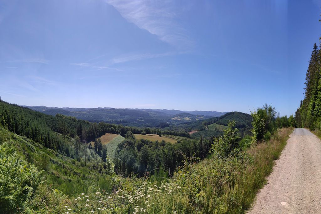
- Leave the track and take, immediately to the left, before the crow's feet, the path passing between the firs. Climb up until you see the site of the Three Crosses on your left.
- At the site of the Three Crosses, continue on the path down. Dangerous descent among the stone blocks. At the crossroads below, take the path that also goes up through the middle of the blocks and continue to the crossroads.
- At the crossroads of four paths, take the one on the right. Continue, ignoring the intersections, until you reach a forest track.
- When you get to the track, follow it to the left and, one kilometre further on, just before a bend, take the path that goes up through woods. Walk alongside a field and continue until you reach an intersection.
- At the intersection, continue straight ahead for a few metres and then turn left at the crossroads. Continue up to the road.
- Cross the road and go, opposite, in the direction of Mazeau Nicot. Go through the village and continue on this path until you reach the D21 road. Follow this to your right and continue until you reach the starting point.
- Departure : Central square, Lauzat
- Arrival : Central square, Lauzat
- Towns crossed : Nedde, Beaumont-du-Lac, and Faux-la-Montagne
Forecast
Altimetric profile
Information desks
17 Avenue de la Paix, 87120 Eymoutiers
Auphelle, 87470 Peyrat-le-Château
Access and parking
60 km from Limoges, take the D979 towards Eymoutiers. In Eymoutiers, head for Nedde on the D992. In Nedde, take the D210 towards Lauzat.
13 km from Eymoutiers, take the D992 towards Nedde. In Nedde, take the D210 towards Lauzat.
Parking :
Accessibility
- Emergency number :
- 112
More information
Report a problem or an error
If you have found an error on this page or if you have noticed any problems during your hike, please report them to us here: