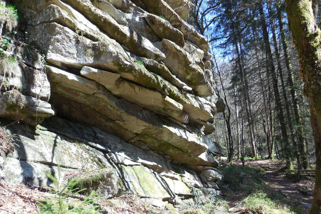
The Rocks of Servières
This circuit is part of the FFVélo Haute-Corrèze mountain bike base, the largest mountain biking area in France with 1000 km of marked circuits. There is a shortcut, the "Bois de Tempêtier" circuit, which is classified as difficult. This relatively easy going sports circuit includes a more technical passage at Rochers Servières. Be careful, many steep paths including the final section.
6 points of interest
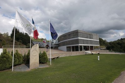
Espace 1000 Sources - CC HCC  History
Espace 1000 Sources
The circuit starts near the Espace 1000 Sources stadium, a training centre that welcomes groups of sports enthusiasts who love the great outdoors. Behind this centre is Alain Mimoun, winner of the Sydney 1956 Olympic Games marathon, who had fine-tuned his preparations in Bugeat.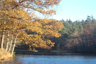
Etang de Condeau - G.Salat - CC HCC  Pond
PondThe pond of Condeau
The circuit runs along the edge of a private pond at Condeau (do not enter the property). If the Plateau de Millevaches is often spoken of as France's water tower because of the many rivers that flow from it, it is also rich in a multitude of ponds. All artificial, they have been created by man, who has most often dammed a stream at the end of a wetland, mainly for fishing.
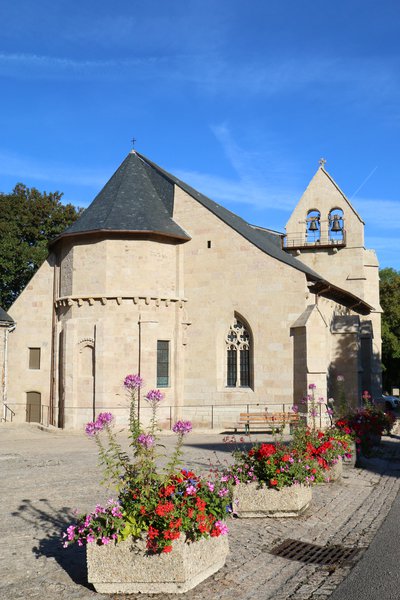
Office de tourisme V2M  Heritage site
The Church of Tarnac
The church of Saint-Gilles and Saint-Georges de Tarnac has the particularity of being of Romanesque origin from the 12th century, enlarged in the 14th and 15th centuries by a Gothic aisle. This characteristic makes it a monument that is unique in the region.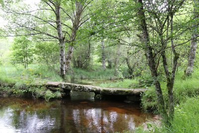
Le petit pont de pierres plates - Office de tourisme V2M Heritage siteSmall flat stone bridges
These "plank bridges" are typical of the Plateau and allow you to cross small watercourses. Made of several granite slabs, resting on stone piles erected in the stream bed, they allowed the shepherds to pass with their animals.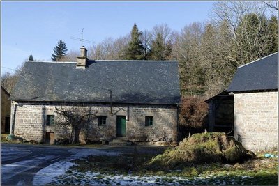
Hameau de Servières - J.Luce  Small patrimony
The Hamlet of Servières
An authentic granite village of traditionally built dwellings which still represents an important part of the Corrèze heritage today.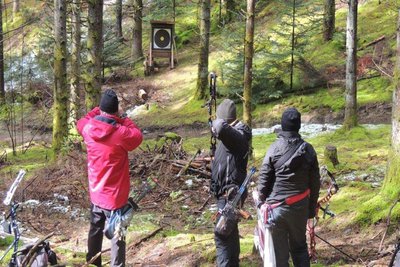
Le Bois de Chaleix - CC HCC  Forestry
Chaleix Wood
The Bois de Chaleix, with a ground area of about 150 ha, was acquired recently by the commune of Bugeat. Bordered by the Vézère river, it is composed of deciduous and coniferous trees. It offers many possibilities for sporting activities: hiking, orienteering, trail running, fishing and archery.
Description
Start at the edge of the water behind the stadium grandstand. Set off on the path to the station.
- Departure : Trois Ponts lake, Bugeat
- Arrival : Trois Ponts lake, Bugeat
- Towns crossed : Bugeat, Viam, Toy-Viam, Tarnac, Peyrelevade, and Pérols-sur-Vézère
Forecast
Altimetric profile
Recommandations
Information desks

Access and parking
In Bugeat, on the D979, head towards the Espace 1000 Sources then the Etang des 3 Ponts. Start off behind the stadium grandstand.
Parking :
More information
Report a problem or an error
If you have found an error on this page or if you have noticed any problems during your hike, please report them to us here: