The Neyrat waterfall
Lapleau Red markers
The Neyrat waterfall
Medium
3h30
10,2km
+391m
-391m
Loop
Embed this item to access it offline
The gorges have not always had this wooded, wilderness aspect, as evidenced by the charcoal makers' platforms, visible along this quite strenuous trail traced out on the slopes of the Luzège.
4 points of interest
Le Tacot ou le Transcorrézien - CC VEM  Heritage site
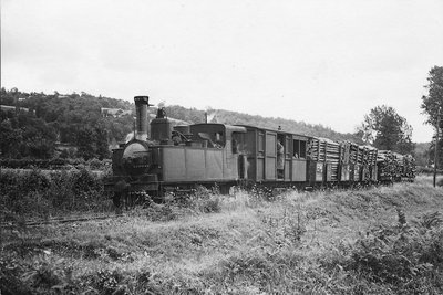
The Tramway train
To open up the poor regions of France at the beginning of the 20th century, secondary railways were set up, including Les Tramways de Corrèze. This most important line connected Tulle to Ussel and was opened to traffic in 1913. Nicknamed the "Transcorrèzian", it profoundly modified the landscape and, in particular, the architecture of the villages, as evidenced by the stretched-out village of Lapleau. The line used to pass through here before stopping at the station,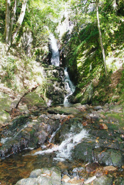
La cascade de Neyrat - D.Agnoux - CC VEM  Waterfall
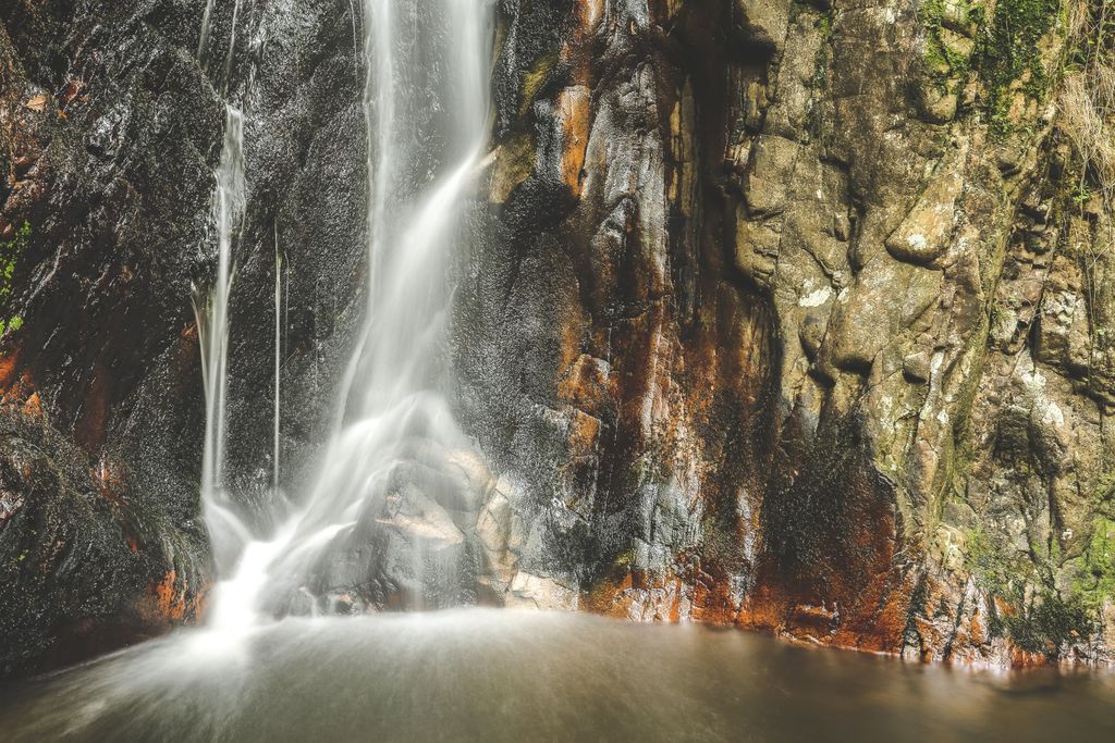
The Neyrat waterfall
The stream to the ponds has its source on the plateau and feeds the body of water at Vendahaut before descending the steep slopes of the Gorges de la Luzège. Turbulent, swirling, it finally leaps and flows off the rock: a stunning sight. Take some time for a break at the edge of the Neyrat waterfall, a relaxing place to enjoy the view.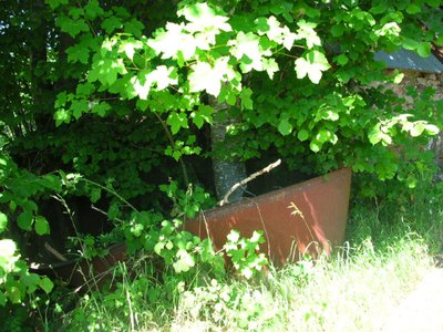
Vestige de chaudron de charbonnier - CCVEM Heritage siteCharcoal kiln
Large circular, flattened plots line the path; they are ‘charbonnières’. Charcoal burning, mainly dating from the 19th century, consisted of building a millstone shape out of pieces of wood and covering it with earth. A smothered fire was lit in the heart of the circular platform. This slow combustion made it possible to produce charcoal. Barges transported this coal to the city of Bordeaux for industries using fire (glassware, forges, etc.).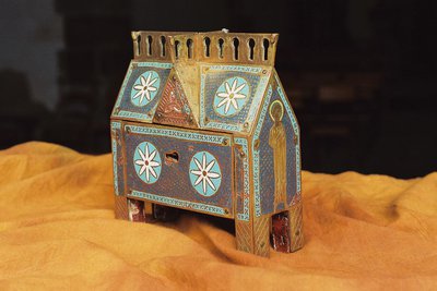
Châsse de Saint-Pantaléon de Lapleau - D.Agnoux - CC VEM Heritage siteThe treasures of the church at Lapleau
The church of Lapleau is distinguished above all by its Limousin silverware treasures. These religious objects, from the 13th century, attest to the know-how of the Limousin workshops that used the technique of cloisonné (fine silver wire) or champlevé (acid etching), while coloured glasses, enamels or gems enriched the repoussé, hammered and incised metal. Reliquaries were designed to house relics. The reliquary at Saint-Pantaléon-Lapleau would have belonged to Pope Clement VI.
Description
- From the town hall, turn left onto the road to Laval-sur-Luzège. At the laundry, follow the road on the right for 200 m and then turn right. Continue until you reach the B-road. Cross the D 16. at the house, use the path on the left.
- Take the track on the right for 30 m, then the path on the left through a softwood plantation. It twists and turns down into the gorges. Cross the stream and go up the stony track. On the plateau, facing the meadow, continue along the track to the left. Take the D 89 on the left.
- Leave the road on the right and, at Les Alouettes, take the road on the right, passing the Neyrat junction and continue for 200 m.
- Follow the path between two fields on the right and go down into a coppice.
- In the bend, take the path to the right on the hillside. Leave a trail on the left, cross the thalweg and go downwards.
- Take the D 89 on the left (in the bend, you have the chance to go to the Neyrat waterfall) and cross the bridge.
- Take the path which climbs up on the left (mica rock outcrops and a circular platform left by charcoal burners) until you reach the plateau. Go along by the meadows and leave the path to the right.
- Take the path on the left. Go through La Charlanne (view of the Cantal mountains), pass between a bakehouse and a Corrèze house and continue along the path bordered by hedges. Cross the stream on the footbridge and climb up into the coppice.
- Continue on the pathway.
- Follow the road to the right. Before the village, turn left. After the water tower, take the main street on the left, and you arrive at the town hall on the right.
- Departure : Place de la Mairie, Lapleau
- Arrival : Place de la Mairie, Lapleau
- Towns crossed : Lapleau
Forecast
Altimetric profile
Recommandations
Slippery rocks on the trail when you arrive at the Neyrat waterfall.
Information desks
Carrefour de l’Epinette, 19550 Lapleau
1 rue Joseph Vialaneix, 19300 Egletons
Access and parking
18 km southeast of Egletons by the D16.
Parking :
Place de la Mairie, Lapleau
More information
Report a problem or an error
If you have found an error on this page or if you have noticed any problems during your hike, please report them to us here: