The ducks' trail
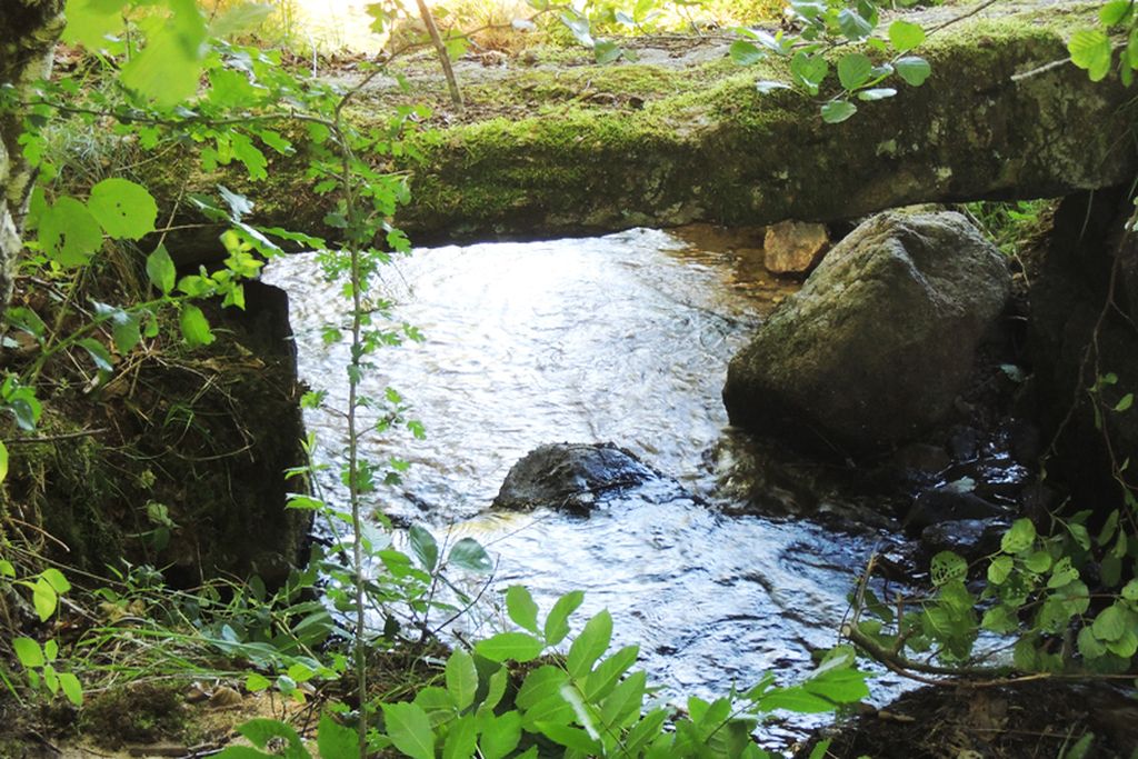
Discover the countryside of the Creuse by taking tracks and paths. At the edge of valleys where many streams flow, and up to the top of hills offering remarkable views to the Sancy massif. You will pass through hamlets where the imprint of the masons of La Creuse remains engraved in the Limousin granite. With any luck, you will come across game in our forests.
3 points of interest
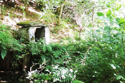
Fontaine Saint-Roch - Tourisme Aubusson Felletin  Small patrimony
Fountain and chapel of Saint-Roch
The chapel was probably built at the end of the 17th and beginning of the 18th century and is located near a cross and a healing fountain dedicated to Saint Roch.

OT Aubusson-Felletin Small patrimonyLocal rural heritage
The rich architectural diversity of our farms and villages is reflected in the work of stonemasons and masons from the Creuse region who have left their mark as a result of their many housebuilding skills.
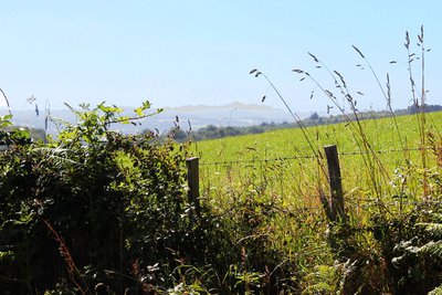
Point de vue sur le Sancy - OT Aubusson Felletin Tourisme  Panorama
Viewpoint over the Sancy massif
Located in the department of Puy-de-Dôme, it is, with its 1,885 meters of altitude, the highest peak of the Massif Central and the highest volcano in metropolitan France.
Description
- Leaving from Le Verminier, at the crossroads follow the direction of the sign.
- Keep to the left.
- Keep to the left.
- Turn left.
- When you arrive in Chambroutière, take the D32 on the right for 450 m.
- Take the path on the left - To explore the Chapelle Saint-Roch, continue the road for 300 m, and then return to point n°6. As you go up the path, you will find the Saint-Roch fountain on the right (follow the sign).
- Turn right on the track.
- Take the road on the left for 450 m then continue on the path ahead and keep to the right.
- Turn left and then, where the four paths cross, continue straight on.
- Follow the D59 on the right for 350 m.
- Take the path that goes up to the right. At the top of the path is the viewpoint over Mount Sancy.
- Turn left onto the downhill track.
- Take the D32 on the right and go through Le Bichaud for 200 m. At the far end of the hamlet, take the track on the left.
- Turn right.
- Turn right, and you arrive on the road, turn left until you reach the village of Chameyroux.
- Turn right, then in the hamlet take the second path on the left.
- Turn right and take the path which goes upwards, then join point n°2 again, taking a left turn to come back to the starting point.
- Departure : Four-way crossroads, Le Verminier
- Arrival : Four-way crossroads, Le Verminier
- Towns crossed : Saint-Quentin-la-Chabanne, Saint-Marc-à-Frongier, and Vallière
Forecast
Altimetric profile
Recommandations
Itinerary can be split into smaller circuits by taking the road.
Information desks

Place Quinault, 23500 Felletin
Transport
Public transport >> www.aubusson-felletin-tourisme.com
Access and parking
8.3 km from Aubusson, take the D23.
3.6 km from Felletin, take the D23.
Parking :
More information
Report a problem or an error
If you have found an error on this page or if you have noticed any problems during your hike, please report them to us here: